
6 Bus Route Map
View the 6 route map and see all 6 stops along the route. The map of 6 shows where the bus travels and the location of each stop, making it easy to understand the entire route at a glance.
Explore NT routes on the map and see where NT bus services operate. Use the 6 map to find bus stops and see how the 6 connects different areas along its trip.
All 6 stops on the map are displayed in route order, helping you follow the 6 bus from the first stop to the last.
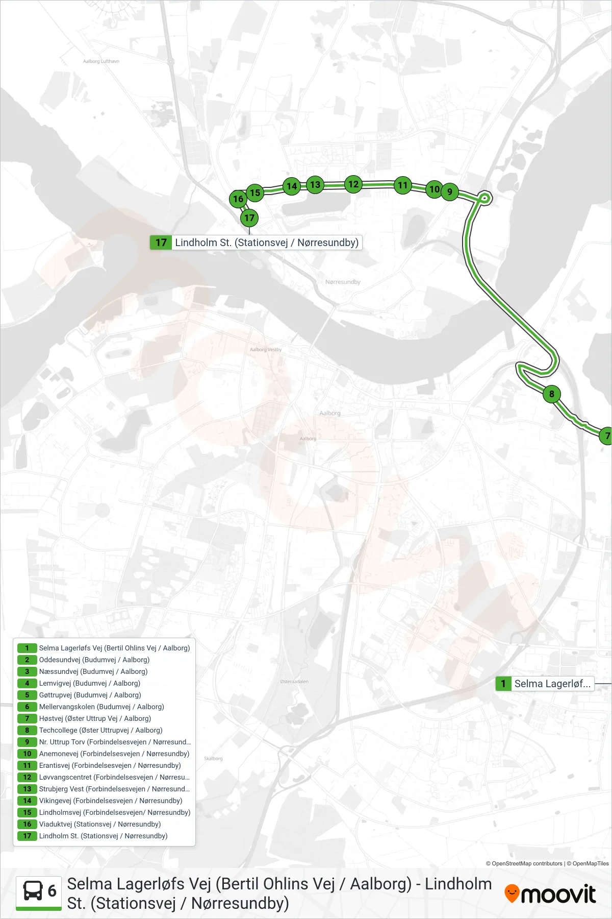
Stops list (6 - Lindholm St.)
- Selma Lagerløfs Vej (Bertil Ohlins Vej / Aalborg)
- Oddesundvej (Budumvej / Aalborg)
- Næssundvej (Budumvej / Aalborg)
- Lemvigvej (Budumvej / Aalborg)
- Gøttrupvej (Budumvej / Aalborg)
- Mellervangskolen (Budumvej / Aalborg)
- Høstvej (Øster Uttrup Vej / Aalborg)
- Techcollege (Øster Uttrupvej / Aalborg)
- Nr. Uttrup Torv (Forbindelsesvejen / Nørresundby)
- Anemonevej (Forbindelsesvejen / Nørresundby)
- Erantisvej (Forbindelsesvejen / Nørresundby)
- Løvvangscentret (Forbindelsesvejen / Nørresundby)
- Strubjerg Vest (Forbindelsesvejen / Nørresundby)
- Vikingevej (Forbindelsesvejen / Nørresundby)
- Lindholmsvej (Forbindelsesvejen/ Nørresundby)
- Viaduktvej (Stationsvej / Nørresundby)
- Lindholm St. (Stationsvej / Nørresundby)