
6 Bus Route Map
View the 6 route map and see all 6 stops along the route. The map of 6 shows where the bus travels and the location of each stop, making it easy to understand the entire route at a glance.
Explore Green Bay Metro Transit routes on the map and see where Green Bay Metro Transit bus services operate. Use the 6 map to find bus stops and see how the 6 connects different areas along its trip.
All 6 stops on the map are displayed in route order, helping you follow the 6 bus from the first stop to the last.
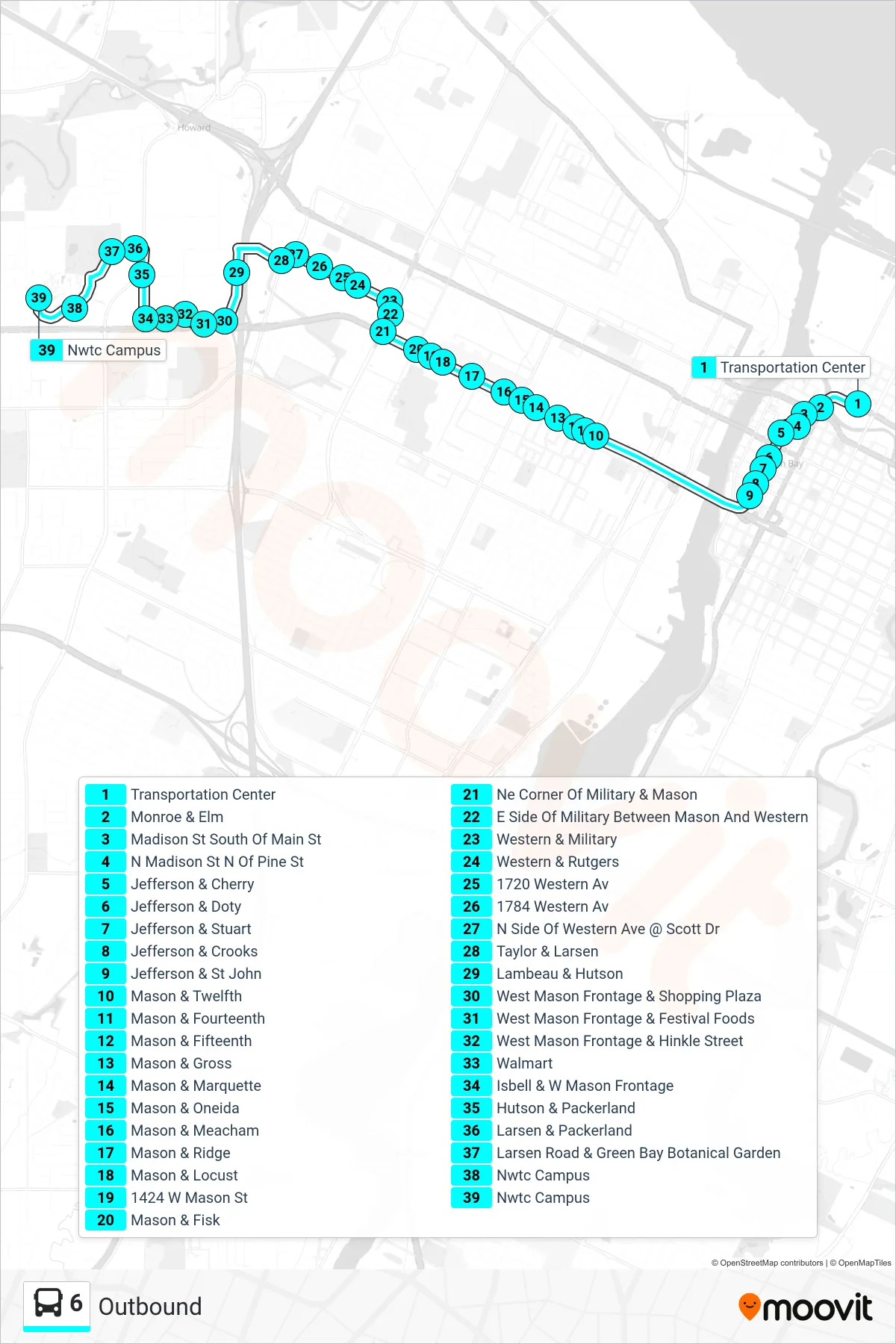
Stops list (6 - Outbound)
- Transportation Center
- Monroe & Elm
- Madison St South Of Main St
- N Madison St N Of Pine St
- Jefferson & Cherry
- Jefferson & Doty
- Jefferson & Stuart
- Jefferson & Crooks
- Jefferson & St John
- Mason & Twelfth
- Mason & Fourteenth
- Mason & Fifteenth
- Mason & Gross
- Mason & Marquette
- Mason & Oneida
- Mason & Meacham
- Mason & Ridge
- Mason & Locust
- 1424 W Mason St
- Mason & Fisk
- Ne Corner Of Military & Mason
- E Side Of Military Between Mason And Western
- Western & Military
- Western & Rutgers
- 1720 Western Av
- 1784 Western Av
- N Side Of Western Ave @ Scott Dr
- Taylor & Larsen
- Lambeau & Hutson
- West Mason Frontage & Shopping Plaza
- West Mason Frontage & Festival Foods
- West Mason Frontage & Hinkle Street
- Walmart
- Isbell & W Mason Frontage
- Hutson & Packerland
- Larsen & Packerland
- Larsen Road & Green Bay Botanical Garden
- Nwtc Campus
- Nwtc Campus