
6 Bus Route Map
View the 6 route map and see all 6 stops along the route. The map of 6 shows where the bus travels and the location of each stop, making it easy to understand the entire route at a glance.
Explore RhönEnergie Bus GmbH routes on the map and see where RhönEnergie Bus GmbH bus services operate. Use the 6 map to find bus stops and see how the 6 connects different areas along its trip.
All 6 stops on the map are displayed in route order, helping you follow the 6 bus from the first stop to the last.
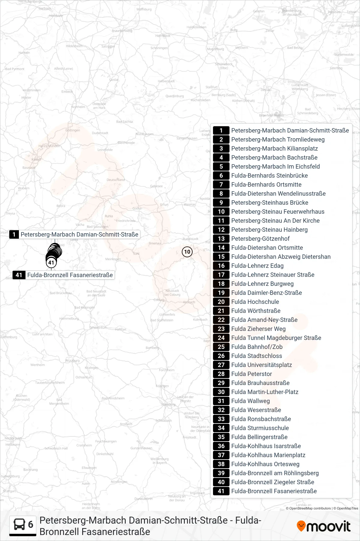
Stops list (6 - Bronnzell)
- Petersberg-Marbach Damian-Schmitt-Straße
- Petersberg-Marbach Tromliedeweg
- Petersberg-Marbach Kiliansplatz
- Petersberg-Marbach Bachstraße
- Petersberg-Marbach Im Eichsfeld
- Fulda-Bernhards Steinbrücke
- Fulda-Bernhards Ortsmitte
- Fulda-Dietershan Wendelinusstraße
- Petersberg-Steinhaus Brücke
- Petersberg-Steinau Feuerwehrhaus
- Petersberg-Steinau An Der Kirche
- Petersberg-Steinau Hainberg
- Petersberg-Götzenhof
- Fulda-Dietershan Ortsmitte
- Fulda-Dietershan Abzweig Dietershan
- Fulda-Lehnerz Edag
- Fulda-Lehnerz Steinauer Straße
- Fulda-Lehnerz Burgweg
- Fulda Daimler-Benz-Straße
- Fulda Hochschule
- Fulda Wörthstraße
- Fulda Amand-Ney-Straße
- Fulda Zieherser Weg
- Fulda Tunnel Magdeburger Straße
- Fulda Bahnhof/Zob
- Fulda Stadtschloss
- Fulda Universitätsplatz
- Fulda Peterstor
- Fulda Brauhausstraße
- Fulda Martin-Luther-Platz
- Fulda Wallweg
- Fulda Weserstraße
- Fulda Ronsbachstraße
- Fulda Sturmiusschule
- Fulda Bellingerstraße
- Fulda-Kohlhaus Isarstraße
- Fulda-Kohlhaus Marienplatz
- Fulda-Kohlhaus Ortesweg
- Fulda-Bronnzell am Röhlingsberg
- Fulda-Bronnzell Ziegeler Straße
- Fulda-Bronnzell Fasaneriestraße