
6 Subway Route Map
View the 6 route map and see all 6 stops along the route. The map of 6 shows where the subway travels and the location of each stop, making it easy to understand the entire route at a glance.
Explore MTA Subway routes on the map and see where MTA Subway subway services operate. Use the 6 map to find subway stations and see how the 6 connects different areas along its trip.
All 6 stops on the map are displayed in route order, helping you follow the 6 subway from the first station to the last.
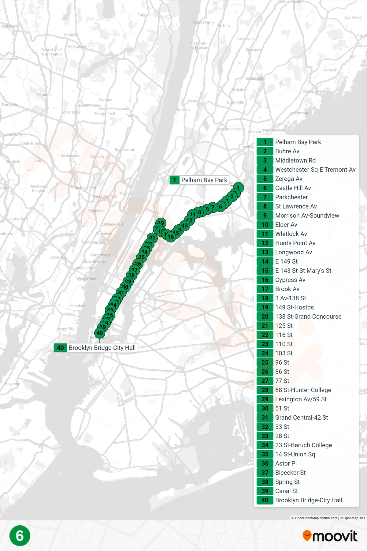
Stops list (6 - Downtown & Brooklyn)
- Pelham Bay Park
- Buhre Av
- Middletown Rd
- Westchester Sq-E Tremont Av
- Zerega Av
- Castle Hill Av
- Parkchester
- St Lawrence Av
- Morrison Av-Soundview
- Elder Av
- Whitlock Av
- Hunts Point Av
- Longwood Av
- E 149 St
- E 143 St-St Mary's St
- Cypress Av
- Brook Av
- 3 Av-138 St
- 149 St-Hostos
- 138 St-Grand Concourse
- 125 St
- 116 St
- 110 St
- 103 St
- 96 St
- 86 St
- 77 St
- 68 St-Hunter College
- Lexington Av/59 St
- 51 St
- Grand Central-42 St
- 33 St
- 28 St
- 23 St-Baruch College
- 14 St-Union Sq
- Astor Pl
- Bleecker St
- Spring St
- Canal St
- Brooklyn Bridge-City Hall