
6 Light Rail Route Map
View the 6 route map and see all 6 stops along the route. The map of 6 shows where the light rail travels and the location of each stop, making it easy to understand the entire route at a glance.
Explore Rhein-Neckar-Verkehr GmbH (rnv) routes on the map and see where Rhein-Neckar-Verkehr GmbH (rnv) light rail services operate. Use the 6 map to find light rail stations and see how the 6 connects different areas along its trip.
All 6 stops on the map are displayed in route order, helping you follow the 6 light rail from the first station to the last.
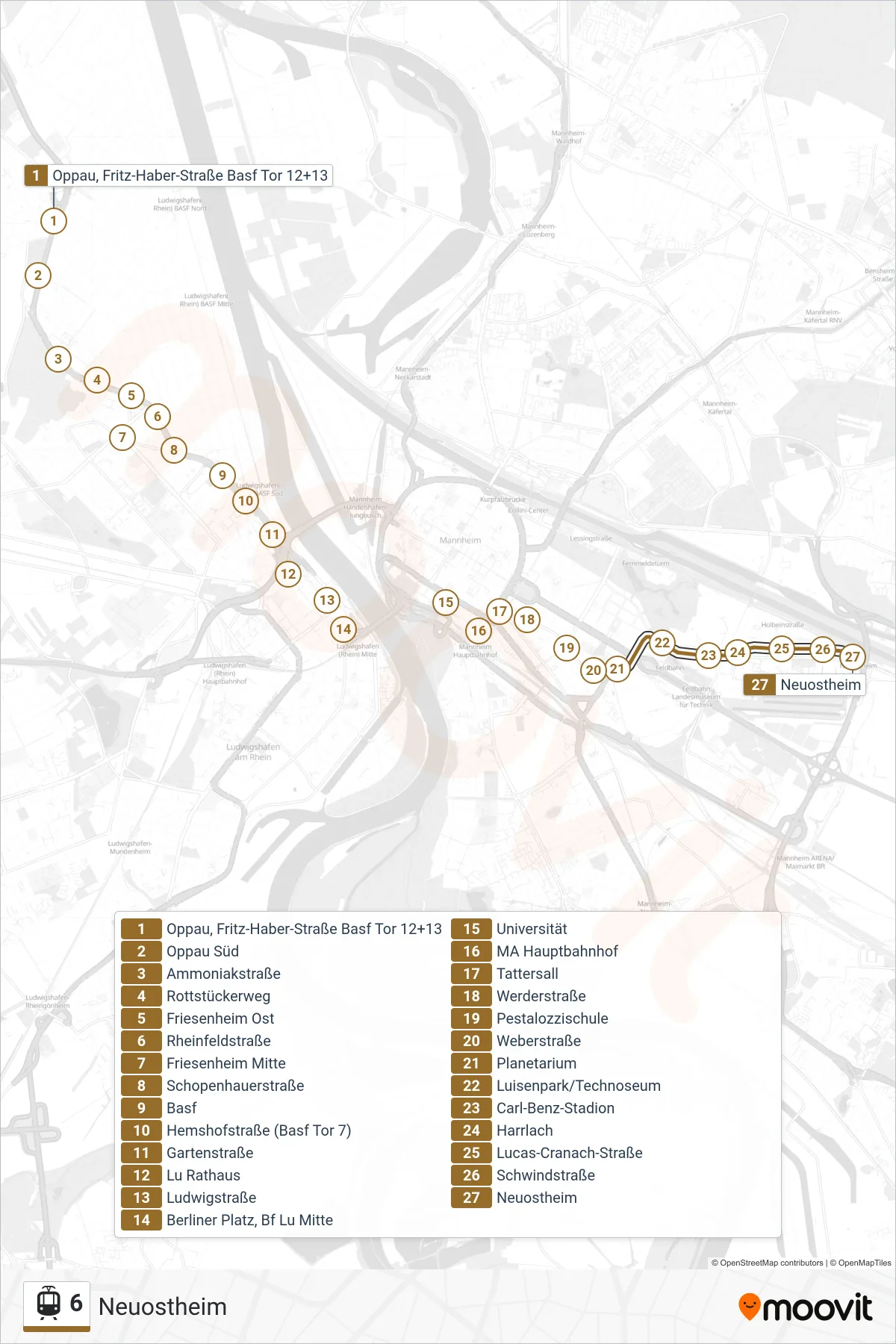
Stops list (6 - Neuostheim)
- Oppau, Fritz-Haber-Straße Basf Tor 12+13
- Oppau Süd
- Ammoniakstraße
- Rottstückerweg
- Friesenheim Ost
- Rheinfeldstraße
- Friesenheim Mitte
- Schopenhauerstraße
- Basf
- Hemshofstraße (Basf Tor 7)
- Gartenstraße
- Lu Rathaus
- Ludwigstraße
- Berliner Platz, Bf Lu Mitte
- Universität
- MA Hauptbahnhof
- Tattersall
- Werderstraße
- Pestalozzischule
- Weberstraße
- Planetarium
- Luisenpark/Technoseum
- Carl-Benz-Stadion
- Harrlach
- Lucas-Cranach-Straße
- Schwindstraße
- Neuostheim