
60 Bus Route Map
View the 60 route map and see all 60 stops along the route. The map of 60 shows where the bus travels and the location of each stop, making it easy to understand the entire route at a glance.
Explore MBTA routes on the map and see where MBTA bus services operate. Use the 60 map to find bus stops and see how the 60 connects different areas along its trip.
All 60 stops on the map are displayed in route order, helping you follow the 60 bus from the first stop to the last.
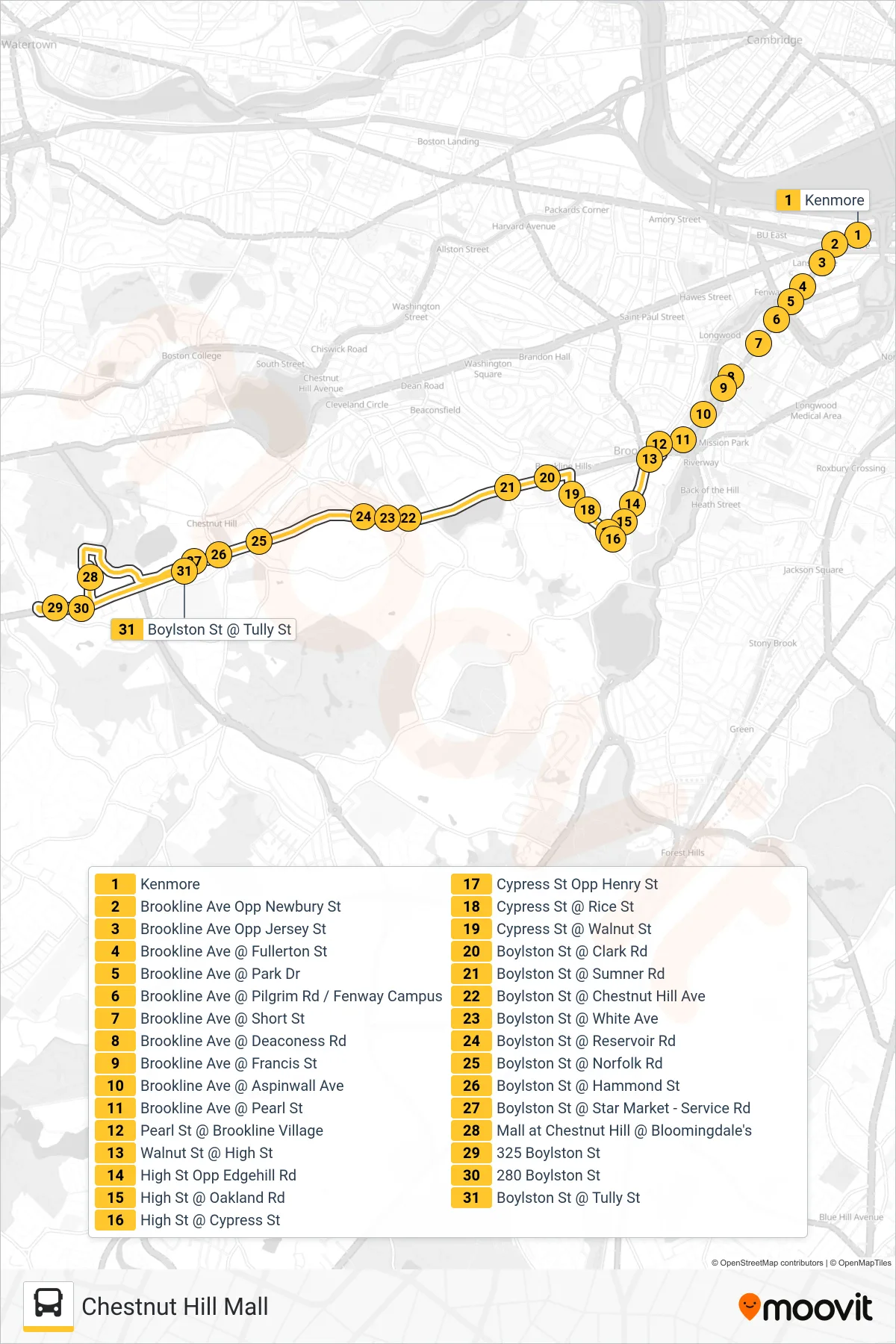
Stops list (60 - Chestnut Hill Mall)
- Kenmore
- Brookline Ave Opp Newbury St
- Brookline Ave Opp Jersey St
- Brookline Ave @ Fullerton St
- Brookline Ave @ Park Dr
- Brookline Ave @ Pilgrim Rd / Fenway Campus
- Brookline Ave @ Short St
- Brookline Ave @ Deaconess Rd
- Brookline Ave @ Francis St
- Brookline Ave @ Aspinwall Ave
- Brookline Ave @ Pearl St
- Pearl St @ Brookline Village
- Walnut St @ High St
- High St Opp Edgehill Rd
- High St @ Oakland Rd
- High St @ Cypress St
- Cypress St Opp Henry St
- Cypress St @ Rice St
- Cypress St @ Walnut St
- Boylston St @ Clark Rd
- Boylston St @ Sumner Rd
- Boylston St @ Chestnut Hill Ave
- Boylston St @ White Ave
- Boylston St @ Reservoir Rd
- Boylston St @ Norfolk Rd
- Boylston St @ Hammond St
- Boylston St @ Star Market - Service Rd
- Mall at Chestnut Hill @ Bloomingdale's
- 325 Boylston St
- 280 Boylston St
- Boylston St @ Tully St