
60 Bus Route Map
View the 60 route map and see all 60 stops along the route. The map of 60 shows where the bus travels and the location of each stop, making it easy to understand the entire route at a glance.
Explore METRO routes on the map and see where METRO bus services operate. Use the 60 map to find bus stops and see how the 60 connects different areas along its trip.
All 60 stops on the map are displayed in route order, helping you follow the 60 bus from the first stop to the last.
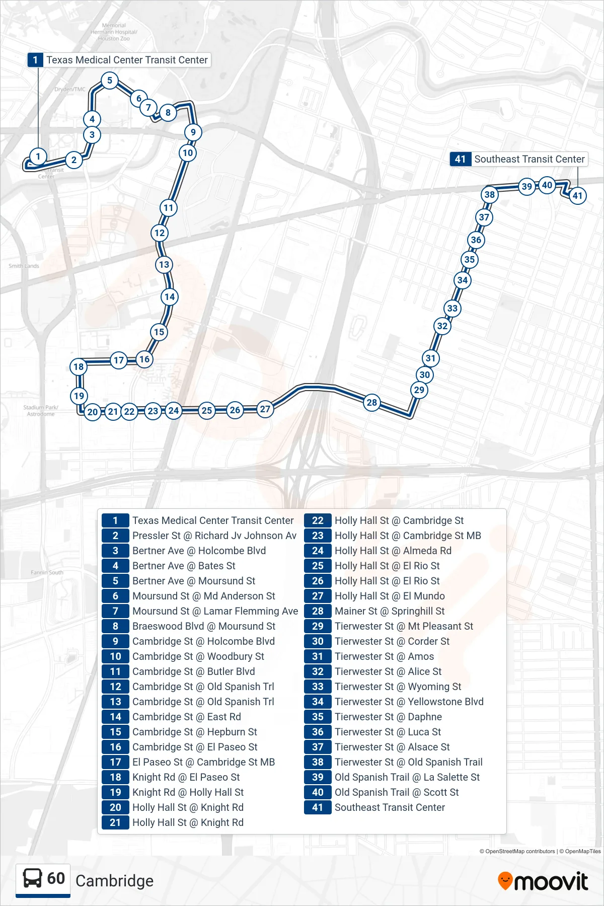
Stops list (60 - Southeast Tc - Southbound)
- Texas Medical Center Transit Center
- Pressler St @ Richard Jv Johnson Av
- Bertner Ave @ Holcombe Blvd
- Bertner Ave @ Bates St
- Bertner Ave @ Moursund St
- Moursund St @ Md Anderson St
- Moursund St @ Lamar Flemming Ave
- Braeswood Blvd @ Moursund St
- Cambridge St @ Holcombe Blvd
- Cambridge St @ Woodbury St
- Cambridge St @ Butler Blvd
- Cambridge St @ Old Spanish Trl
- Cambridge St @ Old Spanish Trl
- Cambridge St @ East Rd
- Cambridge St @ Hepburn St
- Cambridge St @ El Paseo St
- El Paseo St @ Cambridge St MB
- Knight Rd @ El Paseo St
- Knight Rd @ Holly Hall St
- Holly Hall St @ Knight Rd
- Holly Hall St @ Knight Rd
- Holly Hall St @ Cambridge St
- Holly Hall St @ Cambridge St MB
- Holly Hall St @ Almeda Rd
- Holly Hall St @ El Rio St
- Holly Hall St @ El Rio St
- Holly Hall St @ El Mundo
- Mainer St @ Springhill St
- Tierwester St @ Mt Pleasant St
- Tierwester St @ Corder St
- Tierwester St @ Amos
- Tierwester St @ Alice St
- Tierwester St @ Wyoming St
- Tierwester St @ Yellowstone Blvd
- Tierwester St @ Daphne
- Tierwester St @ Luca St
- Tierwester St @ Alsace St
- Tierwester St @ Old Spanish Trail
- Old Spanish Trail @ La Salette St
- Old Spanish Trail @ Scott St
- Southeast Transit Center