
60 Bus Route Map
View the 60 route map and see all 60 stops along the route. The map of 60 shows where the bus travels and the location of each stop, making it easy to understand the entire route at a glance.
Explore LNG Fulda routes on the map and see where LNG Fulda bus services operate. Use the 60 map to find bus stops and see how the 60 connects different areas along its trip.
All 60 stops on the map are displayed in route order, helping you follow the 60 bus from the first stop to the last.
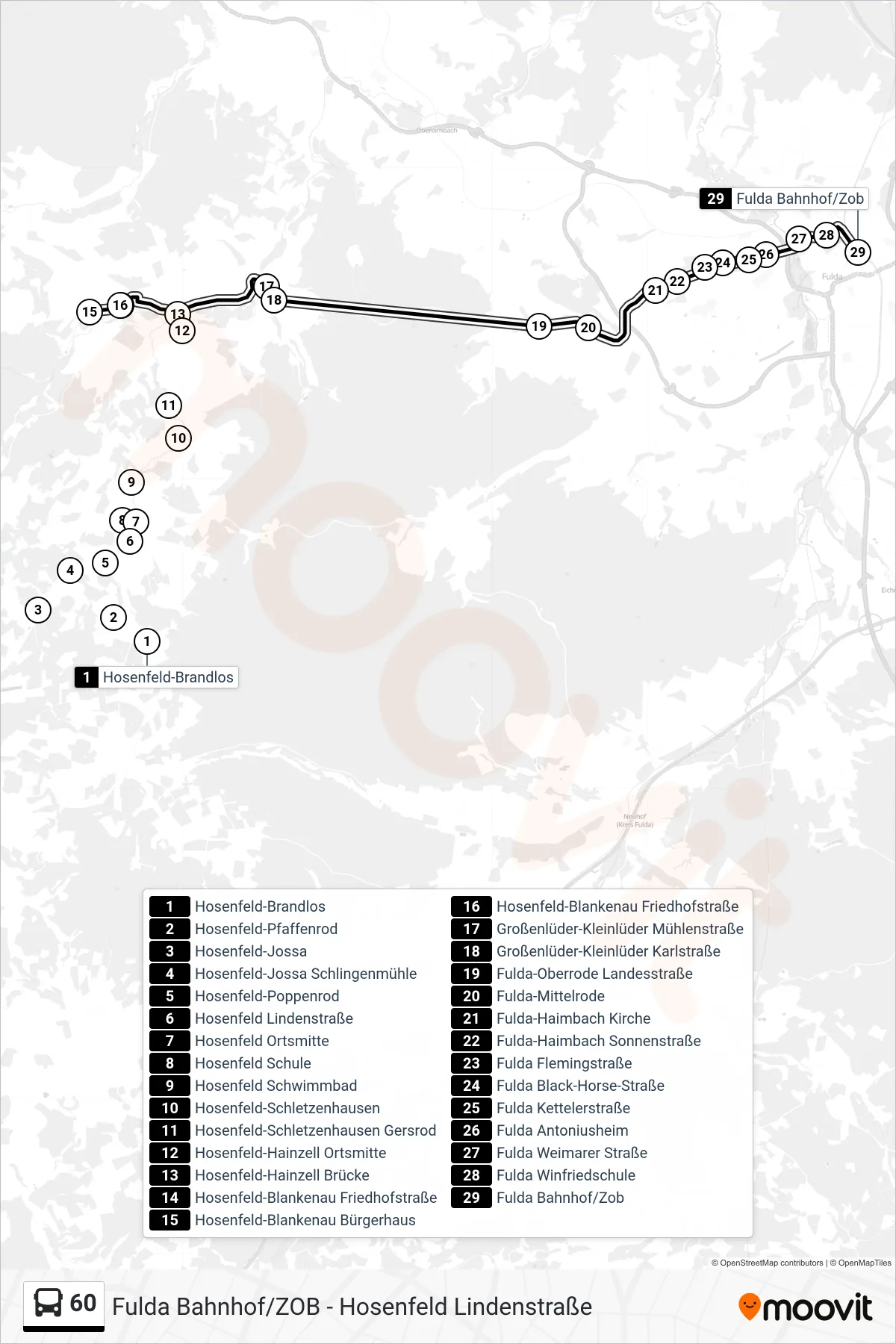
Stops list (60 - Fulda Bahnhof/Zob)
- Hosenfeld-Brandlos
- Hosenfeld-Pfaffenrod
- Hosenfeld-Jossa
- Hosenfeld-Jossa Schlingenmühle
- Hosenfeld-Poppenrod
- Hosenfeld Lindenstraße
- Hosenfeld Ortsmitte
- Hosenfeld Schule
- Hosenfeld Schwimmbad
- Hosenfeld-Schletzenhausen
- Hosenfeld-Schletzenhausen Gersrod
- Hosenfeld-Hainzell Ortsmitte
- Hosenfeld-Hainzell Brücke
- Hosenfeld-Blankenau Friedhofstraße
- Hosenfeld-Blankenau Bürgerhaus
- Hosenfeld-Blankenau Friedhofstraße
- Großenlüder-Kleinlüder Mühlenstraße
- Großenlüder-Kleinlüder Karlstraße
- Fulda-Oberrode Landesstraße
- Fulda-Mittelrode
- Fulda-Haimbach Kirche
- Fulda-Haimbach Sonnenstraße
- Fulda Flemingstraße
- Fulda Black-Horse-Straße
- Fulda Kettelerstraße
- Fulda Antoniusheim
- Fulda Weimarer Straße
- Fulda Winfriedschule
- Fulda Bahnhof/Zob