
60 Bus Route Map
View the 60 route map and see all 60 stops along the route. The map of 60 shows where the bus travels and the location of each stop, making it easy to understand the entire route at a glance.
Explore The S routes on the map and see where The S bus services operate. Use the 60 map to find bus stops and see how the 60 connects different areas along its trip.
All 60 stops on the map are displayed in route order, helping you follow the 60 bus from the first stop to the last.
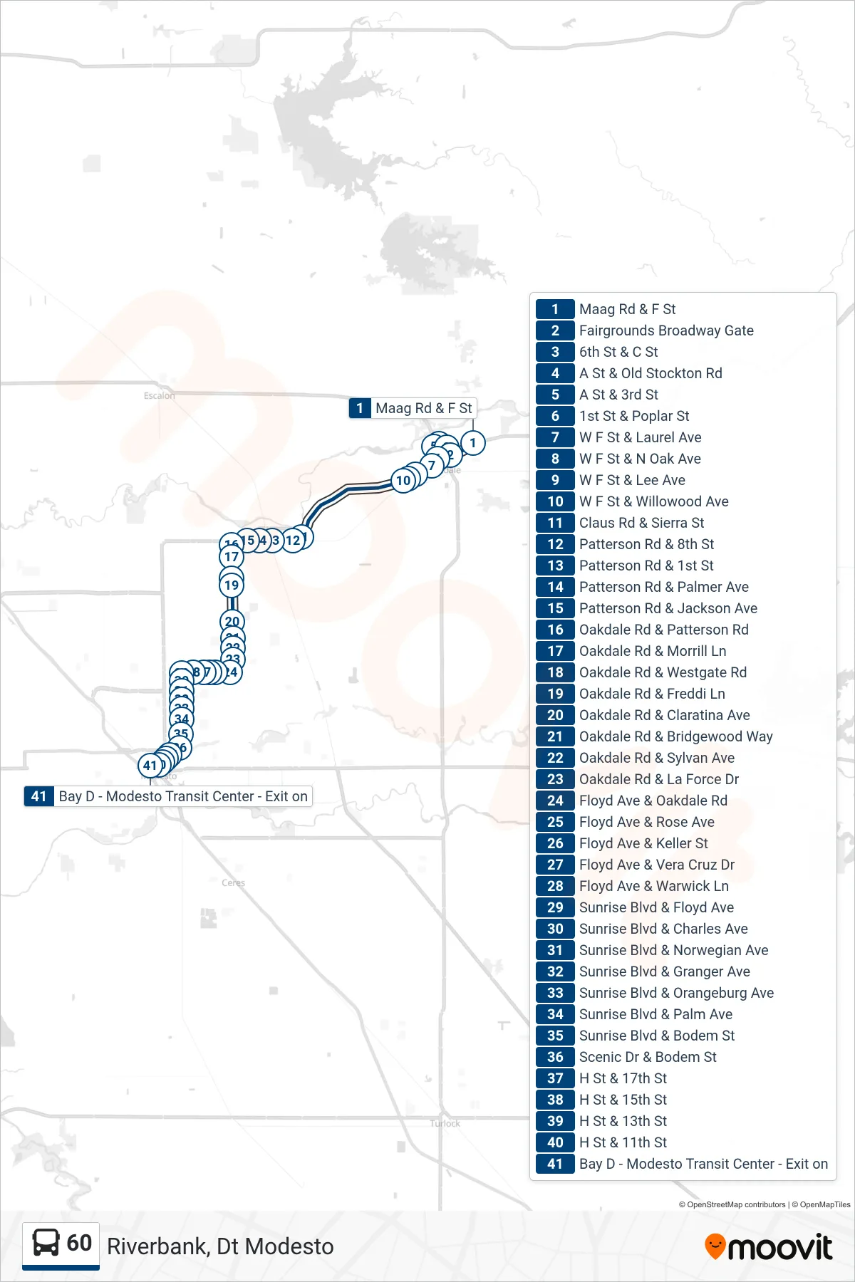
Stops list (60 - Riverbank, Dt Modesto)
- Maag Rd & F St
- Fairgrounds Broadway Gate
- 6th St & C St
- A St & Old Stockton Rd
- A St & 3rd St
- 1st St & Poplar St
- W F St & Laurel Ave
- W F St & N Oak Ave
- W F St & Lee Ave
- W F St & Willowood Ave
- Claus Rd & Sierra St
- Patterson Rd & 8th St
- Patterson Rd & 1st St
- Patterson Rd & Palmer Ave
- Patterson Rd & Jackson Ave
- Oakdale Rd & Patterson Rd
- Oakdale Rd & Morrill Ln
- Oakdale Rd & Westgate Rd
- Oakdale Rd & Freddi Ln
- Oakdale Rd & Claratina Ave
- Oakdale Rd & Bridgewood Way
- Oakdale Rd & Sylvan Ave
- Oakdale Rd & La Force Dr
- Floyd Ave & Oakdale Rd
- Floyd Ave & Rose Ave
- Floyd Ave & Keller St
- Floyd Ave & Vera Cruz Dr
- Floyd Ave & Warwick Ln
- Sunrise Blvd & Floyd Ave
- Sunrise Blvd & Charles Ave
- Sunrise Blvd & Norwegian Ave
- Sunrise Blvd & Granger Ave
- Sunrise Blvd & Orangeburg Ave
- Sunrise Blvd & Palm Ave
- Sunrise Blvd & Bodem St
- Scenic Dr & Bodem St
- H St & 17th St
- H St & 15th St
- H St & 13th St
- H St & 11th St
- Bay D - Modesto Transit Center - Exit on