
60 Bus Route Map
View the 60 route map and see all 60 stops along the route. The map of 60 shows where the bus travels and the location of each stop, making it easy to understand the entire route at a glance.
Explore Niederrheinische VKB routes on the map and see where Niederrheinische VKB bus services operate. Use the 60 map to find bus stops and see how the 60 connects different areas along its trip.
All 60 stops on the map are displayed in route order, helping you follow the 60 bus from the first stop to the last.
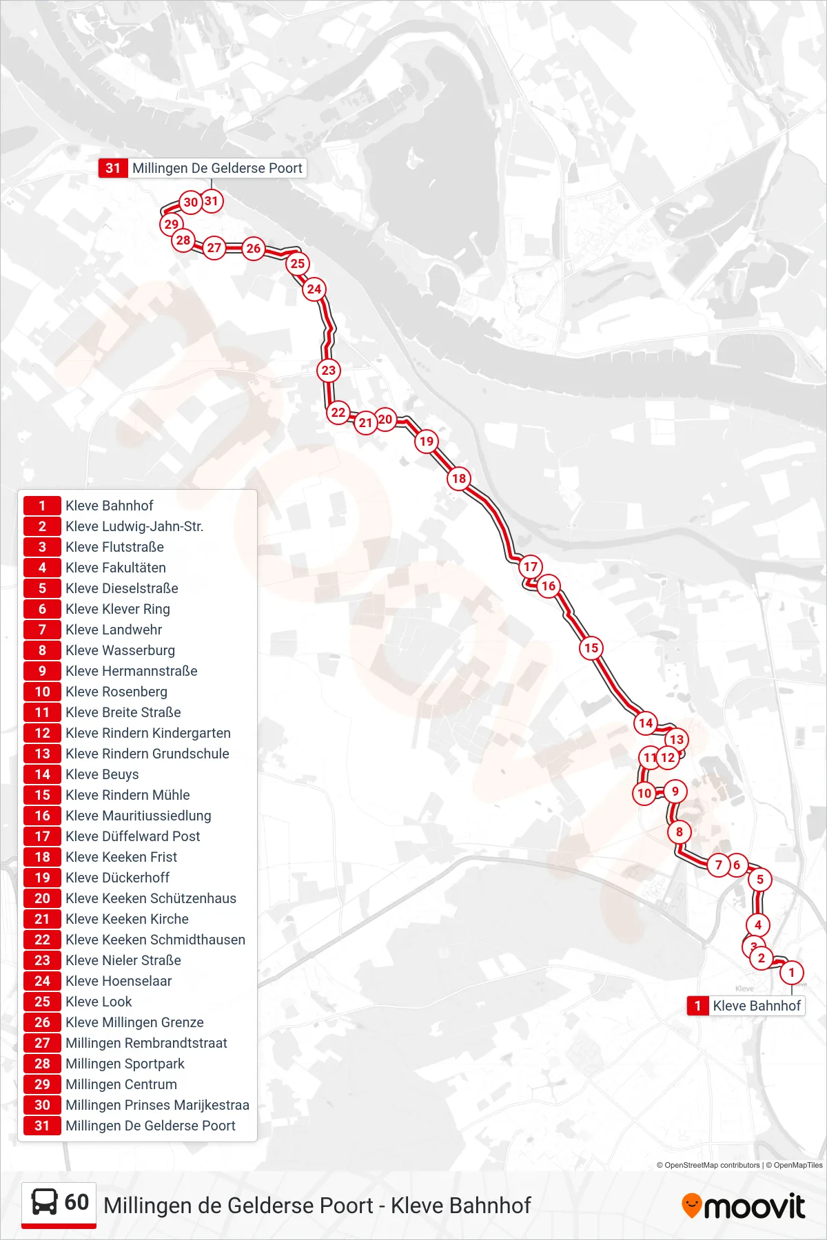
Stops list (60 - Millingen De Gelderse Poort)
- Kleve Bahnhof
- Kleve Ludwig-Jahn-Str.
- Kleve Flutstraße
- Kleve Fakultäten
- Kleve Dieselstraße
- Kleve Klever Ring
- Kleve Landwehr
- Kleve Wasserburg
- Kleve Hermannstraße
- Kleve Rosenberg
- Kleve Breite Straße
- Kleve Rindern Kindergarten
- Kleve Rindern Grundschule
- Kleve Beuys
- Kleve Rindern Mühle
- Kleve Mauritiussiedlung
- Kleve Düffelward Post
- Kleve Keeken Frist
- Kleve Dückerhoff
- Kleve Keeken Schützenhaus
- Kleve Keeken Kirche
- Kleve Keeken Schmidthausen
- Kleve Nieler Straße
- Kleve Hoenselaar
- Kleve Look
- Kleve Millingen Grenze
- Millingen Rembrandtstraat
- Millingen Sportpark
- Millingen Centrum
- Millingen Prinses Marijkestraa
- Millingen De Gelderse Poort