
60 Tram Route Map
View the 60 route map and see all 60 stops along the route. The map of 60 shows where the tram travels and the location of each stop, making it easy to understand the entire route at a glance.
Explore routes on the map and see where tram services operate. Use the 60 map to find tram stations and see how the 60 connects different areas along its trip.
All 60 stops on the map are displayed in route order, helping you follow the 60 tram from the first station to the last.
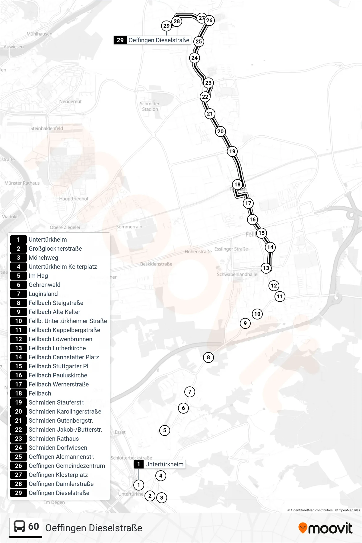
Stops list (60 - Oeffingen Dieselstraße)
- Untertürkheim
- Großglocknerstraße
- Mönchweg
- Untertürkheim Kelterplatz
- Im Hag
- Gehrenwald
- Luginsland
- Fellbach Steigstraße
- Fellbach Alte Kelter
- Fellb. Untertürkheimer Straße
- Fellbach Kappelbergstraße
- Fellbach Löwenbrunnen
- Fellbach Lutherkirche
- Fellbach Cannstatter Platz
- Fellbach Stuttgarter Pl.
- Fellbach Pauluskirche
- Fellbach Wernerstraße
- Fellbach
- Schmiden Stauferstr.
- Schmiden Karolingerstraße
- Schmiden Gutenbergstr.
- Schmiden Jakob-/Butterstr.
- Schmiden Rathaus
- Schmiden Dorfwiesen
- Oeffingen Alemannenstr.
- Oeffingen Gemeindezentrum
- Oeffingen Klosterplatz
- Oeffingen Daimlerstraße
- Oeffingen Dieselstraße