
600 Bus Route Map
View the 600 route map and see all 600 stops along the route. The map of 600 shows where the bus travels and the location of each stop, making it easy to understand the entire route at a glance.
Explore SWB Stadtwerke Bonn Verkehrs GmbH routes on the map and see where SWB Stadtwerke Bonn Verkehrs GmbH bus services operate. Use the 600 map to find bus stops and see how the 600 connects different areas along its trip.
All 600 stops on the map are displayed in route order, helping you follow the 600 bus from the first stop to the last.
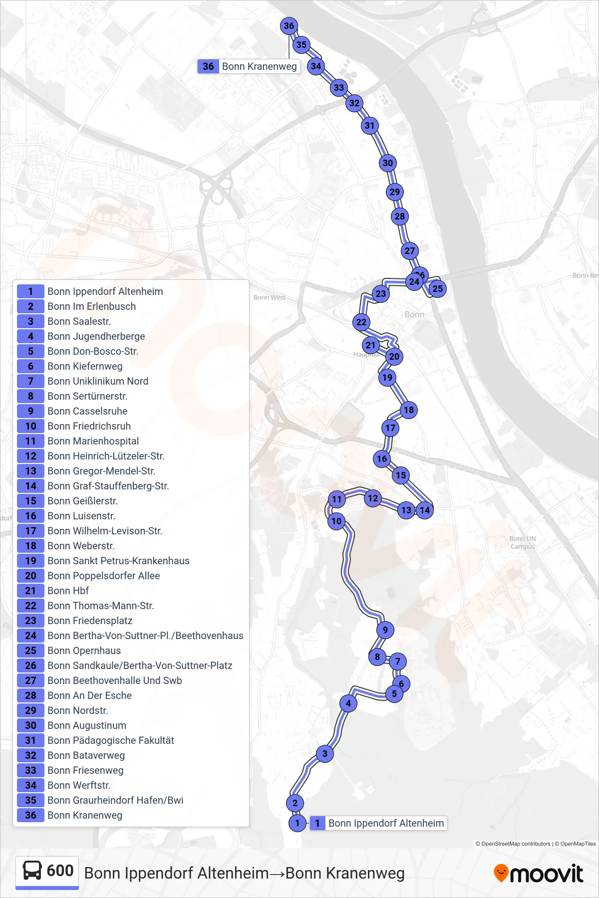
Stops list (600 - Bonn Ippendorf Altenheim→Bonn Kranenweg)
- Bonn Ippendorf Altenheim
- Bonn Im Erlenbusch
- Bonn Saalestr.
- Bonn Jugendherberge
- Bonn Don-Bosco-Str.
- Bonn Kiefernweg
- Bonn Uniklinikum Nord
- Bonn Sertürnerstr.
- Bonn Casselsruhe
- Bonn Friedrichsruh
- Bonn Marienhospital
- Bonn Heinrich-Lützeler-Str.
- Bonn Gregor-Mendel-Str.
- Bonn Graf-Stauffenberg-Str.
- Bonn Geißlerstr.
- Bonn Luisenstr.
- Bonn Wilhelm-Levison-Str.
- Bonn Weberstr.
- Bonn Sankt Petrus-Krankenhaus
- Bonn Poppelsdorfer Allee
- Bonn Hbf
- Bonn Thomas-Mann-Str.
- Bonn Friedensplatz
- Bonn Bertha-Von-Suttner-Pl./Beethovenhaus
- Bonn Opernhaus
- Bonn Sandkaule/Bertha-Von-Suttner-Platz
- Bonn Beethovenhalle Und Swb
- Bonn An Der Esche
- Bonn Nordstr.
- Bonn Augustinum
- Bonn Pädagogische Fakultät
- Bonn Bataverweg
- Bonn Friesenweg
- Bonn Werftstr.
- Bonn Graurheindorf Hafen/Bwi
- Bonn Kranenweg