
600 Bus Route Map
View the 600 route map and see all 600 stops along the route. The map of 600 shows where the bus travels and the location of each stop, making it easy to understand the entire route at a glance.
Explore Dr. Richard NÖ GmbH & Co KG routes on the map and see where Dr. Richard NÖ GmbH & Co KG bus services operate. Use the 600 map to find bus stops and see how the 600 connects different areas along its trip.
All 600 stops on the map are displayed in route order, helping you follow the 600 bus from the first stop to the last.
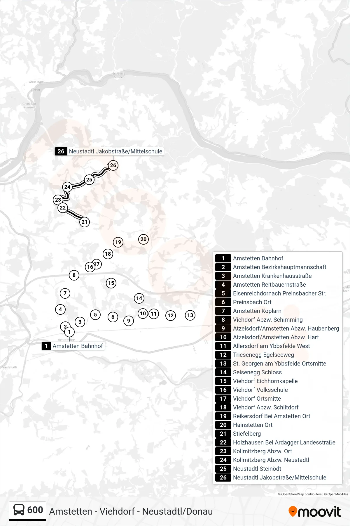
Stops list (600 - Neustadtl Jakobstraße/Mittelschule)
- Amstetten Bahnhof
- Amstetten Bezirkshauptmannschaft
- Amstetten Krankenhausstraße
- Amstetten Reitbauernstraße
- Eisenreichdornach Preinsbacher Str.
- Preinsbach Ort
- Amstetten Koplarn
- Viehdorf Abzw. Schimming
- Atzelsdorf/Amstetten Abzw. Haubenberg
- Atzelsdorf/Amstetten Abzw. Hart
- Allersdorf am Ybbsfelde West
- Triesenegg Egelseeweg
- St. Georgen am Ybbsfelde Ortsmitte
- Seisenegg Schloss
- Viehdorf Eichhornkapelle
- Viehdorf Volksschule
- Viehdorf Ortsmitte
- Viehdorf Abzw. Schiltdorf
- Reikersdorf Bei Amstetten Ort
- Hainstetten Ort
- Stiefelberg
- Holzhausen Bei Ardagger Landesstraße
- Kollmitzberg Abzw. Ort
- Kollmitzberg Abzw. Neustadtl
- Neustadtl Steinödt
- Neustadtl Jakobstraße/Mittelschule