
60A S-Bahn Route Map
View the 60A route map and see all 60A stops along the route. The map of 60A shows where the S-Bahn travels and the location of each stop, making it easy to understand the entire route at a glance.
Explore Kreisverkehrsgesellschaft Main-Kinzig mbH routes on the map and see where Kreisverkehrsgesellschaft Main-Kinzig mbH S-Bahn services operate. Use the 60A map to find S-Bahn stations and see how the 60A connects different areas along its trip.
All 60A stops on the map are displayed in route order, helping you follow the 60A S-Bahn from the first station to the last.
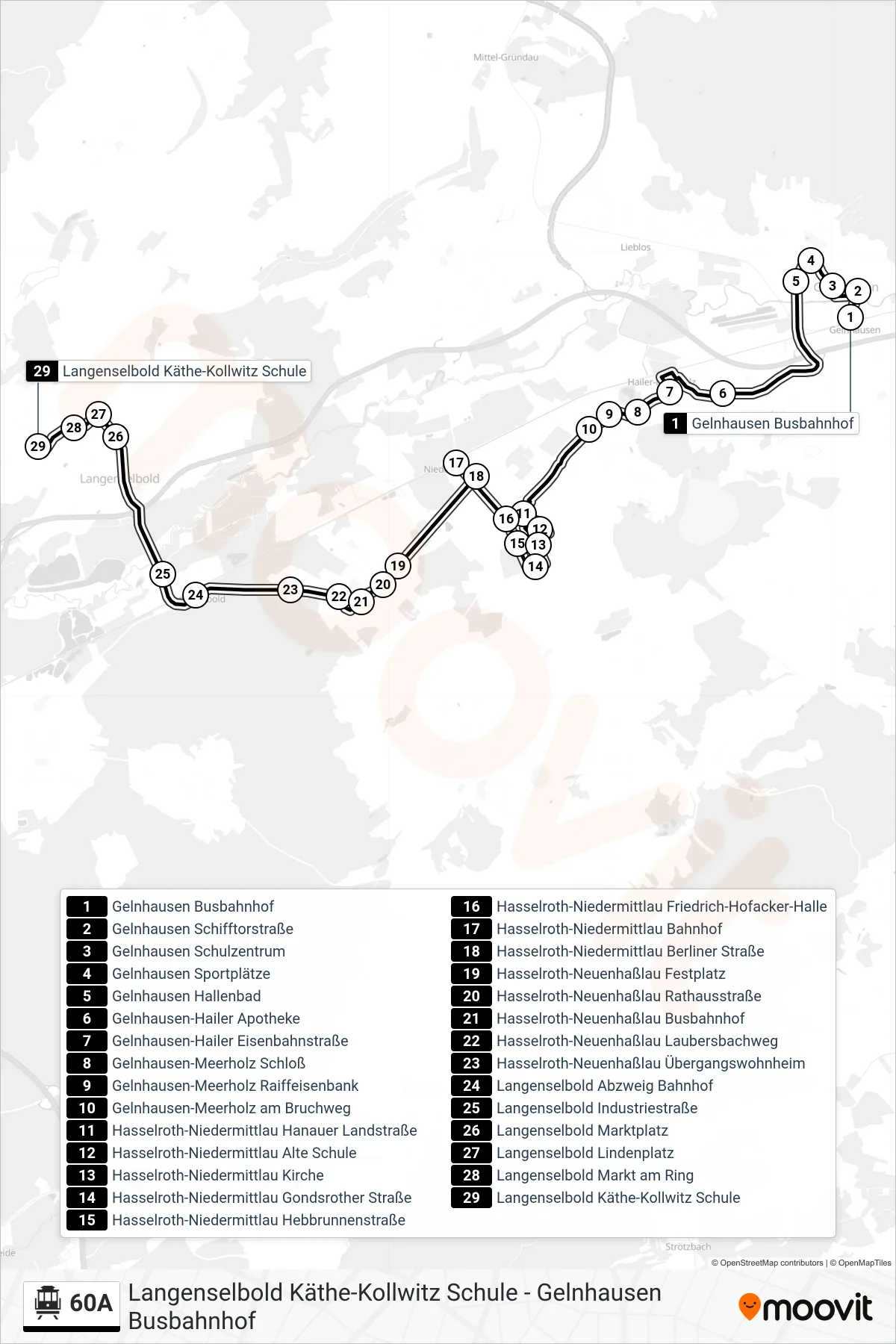
Stops list (60A - Langenselbold Käthe-Kollwitz Schule)
- Gelnhausen Busbahnhof
- Gelnhausen Schifftorstraße
- Gelnhausen Schulzentrum
- Gelnhausen Sportplätze
- Gelnhausen Hallenbad
- Gelnhausen-Hailer Apotheke
- Gelnhausen-Hailer Eisenbahnstraße
- Gelnhausen-Meerholz Schloß
- Gelnhausen-Meerholz Raiffeisenbank
- Gelnhausen-Meerholz am Bruchweg
- Hasselroth-Niedermittlau Hanauer Landstraße
- Hasselroth-Niedermittlau Alte Schule
- Hasselroth-Niedermittlau Kirche
- Hasselroth-Niedermittlau Gondsrother Straße
- Hasselroth-Niedermittlau Hebbrunnenstraße
- Hasselroth-Niedermittlau Friedrich-Hofacker-Halle
- Hasselroth-Niedermittlau Bahnhof
- Hasselroth-Niedermittlau Berliner Straße
- Hasselroth-Neuenhaßlau Festplatz
- Hasselroth-Neuenhaßlau Rathausstraße
- Hasselroth-Neuenhaßlau Busbahnhof
- Hasselroth-Neuenhaßlau Laubersbachweg
- Hasselroth-Neuenhaßlau Übergangswohnheim
- Langenselbold Abzweig Bahnhof
- Langenselbold Industriestraße
- Langenselbold Marktplatz
- Langenselbold Lindenplatz
- Langenselbold Markt am Ring
- Langenselbold Käthe-Kollwitz Schule