
614 Bus Route Map
View the 614 route map and see all 614 stops along the route. The map of 614 shows where the bus travels and the location of each stop, making it easy to understand the entire route at a glance.
Explore SWB Stadtwerke Bonn Verkehrs GmbH routes on the map and see where SWB Stadtwerke Bonn Verkehrs GmbH bus services operate. Use the 614 map to find bus stops and see how the 614 connects different areas along its trip.
All 614 stops on the map are displayed in route order, helping you follow the 614 bus from the first stop to the last.
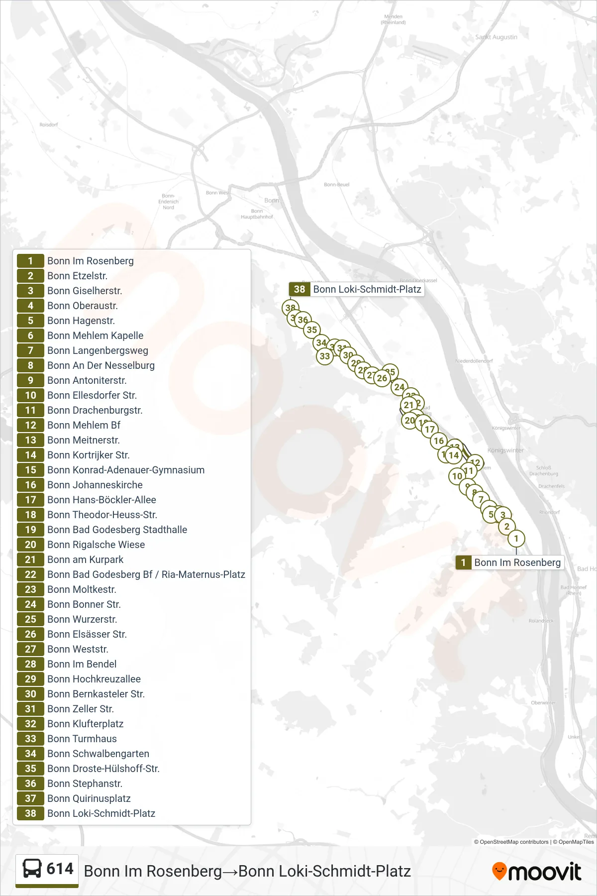
Stops list (614 - Bonn Im Rosenberg→Bonn Loki-Schmidt-Platz)
- Bonn Im Rosenberg
- Bonn Etzelstr.
- Bonn Giselherstr.
- Bonn Oberaustr.
- Bonn Hagenstr.
- Bonn Mehlem Kapelle
- Bonn Langenbergsweg
- Bonn An Der Nesselburg
- Bonn Antoniterstr.
- Bonn Ellesdorfer Str.
- Bonn Drachenburgstr.
- Bonn Mehlem Bf
- Bonn Meitnerstr.
- Bonn Kortrijker Str.
- Bonn Konrad-Adenauer-Gymnasium
- Bonn Johanneskirche
- Bonn Hans-Böckler-Allee
- Bonn Theodor-Heuss-Str.
- Bonn Bad Godesberg Stadthalle
- Bonn Rigalsche Wiese
- Bonn am Kurpark
- Bonn Bad Godesberg Bf / Ria-Maternus-Platz
- Bonn Moltkestr.
- Bonn Bonner Str.
- Bonn Wurzerstr.
- Bonn Elsässer Str.
- Bonn Weststr.
- Bonn Im Bendel
- Bonn Hochkreuzallee
- Bonn Bernkasteler Str.
- Bonn Zeller Str.
- Bonn Klufterplatz
- Bonn Turmhaus
- Bonn Schwalbengarten
- Bonn Droste-Hülshoff-Str.
- Bonn Stephanstr.
- Bonn Quirinusplatz
- Bonn Loki-Schmidt-Platz