
617 Bus Route Map
View the 617 route map and see all 617 stops along the route. The map of 617 shows where the bus travels and the location of each stop, making it easy to understand the entire route at a glance.
Explore WSW routes on the map and see where WSW bus services operate. Use the 617 map to find bus stops and see how the 617 connects different areas along its trip.
All 617 stops on the map are displayed in route order, helping you follow the 617 bus from the first stop to the last.
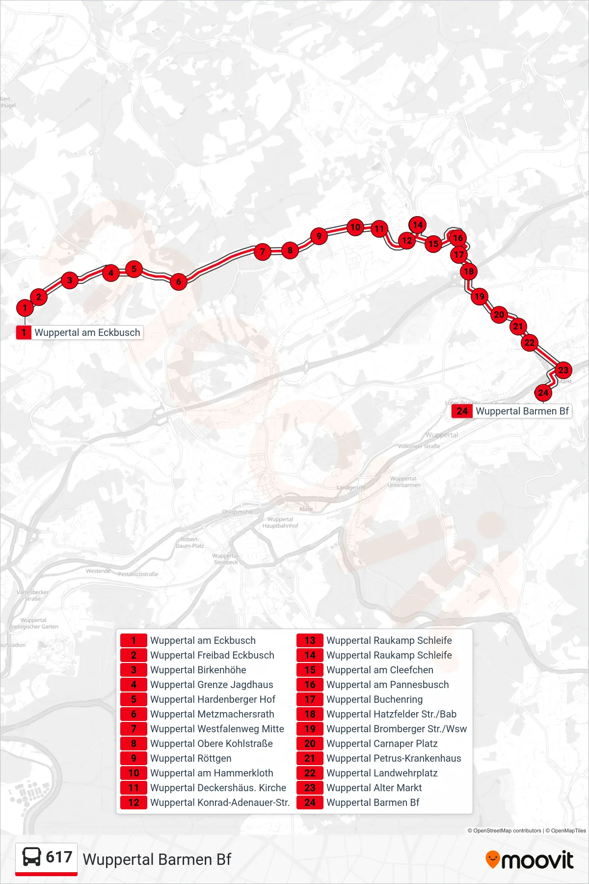
Stops list (617 - Wuppertal Barmen Bf)
- Wuppertal am Eckbusch
- Wuppertal Freibad Eckbusch
- Wuppertal Birkenhöhe
- Wuppertal Grenze Jagdhaus
- Wuppertal Hardenberger Hof
- Wuppertal Metzmachersrath
- Wuppertal Westfalenweg Mitte
- Wuppertal Obere Kohlstraße
- Wuppertal Röttgen
- Wuppertal am Hammerkloth
- Wuppertal Deckershäus. Kirche
- Wuppertal Konrad-Adenauer-Str.
- Wuppertal Raukamp Schleife
- Wuppertal Raukamp Schleife
- Wuppertal am Cleefchen
- Wuppertal am Pannesbusch
- Wuppertal Buchenring
- Wuppertal Hatzfelder Str./Bab
- Wuppertal Bromberger Str./Wsw
- Wuppertal Carnaper Platz
- Wuppertal Petrus-Krankenhaus
- Wuppertal Landwehrplatz
- Wuppertal Alter Markt
- Wuppertal Barmen Bf