
62 Bus Route Map
View the 62 route map and see all 62 stops along the route. The map of 62 shows where the bus travels and the location of each stop, making it easy to understand the entire route at a glance.
Explore Autobuses routes on the map and see where Autobuses bus services operate. Use the 62 map to find bus stops and see how the 62 connects different areas along its trip.
All 62 stops on the map are displayed in route order, helping you follow the 62 bus from the first stop to the last.
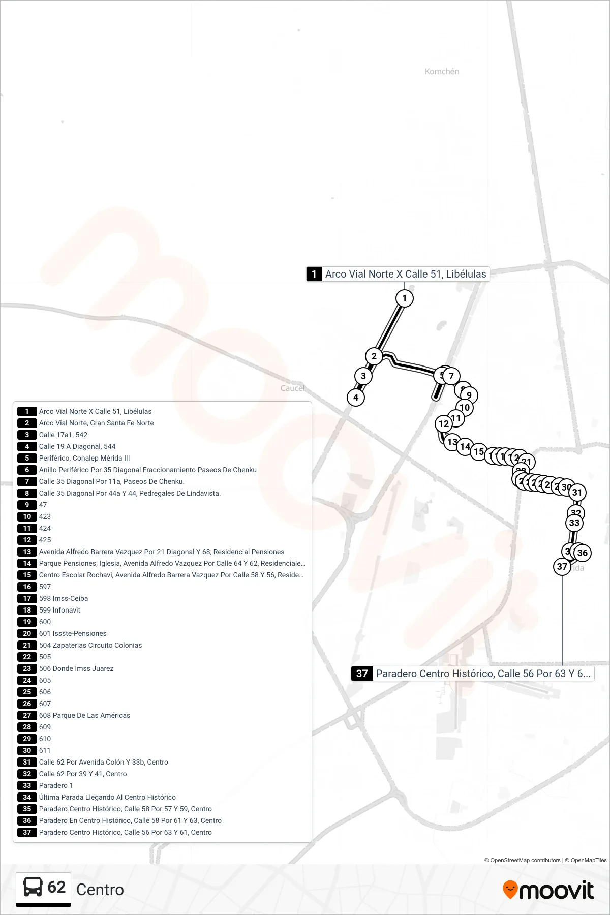
Stops list (62 - Centro)
- Arco Vial Norte X Calle 51, Libélulas
- Arco Vial Norte, Gran Santa Fe Norte
- Calle 17a1, 542
- Calle 19 A Diagonal, 544
- Periférico, Conalep Mérida III
- Anillo Periférico Por 35 Diagonal Fraccionamiento Paseos De Chenku
- Calle 35 Diagonal Por 11a, Paseos De Chenku.
- Calle 35 Diagonal Por 44a Y 44, Pedregales De Lindavista.
- 47
- 423
- 424
- 425
- Avenida Alfredo Barrera Vazquez Por 21 Diagonal Y 68, Residencial Pensiones
- Parque Pensiones, Iglesia, Avenida Alfredo Vazquez Por Calle 64 Y 62, Residenciales Pensiones Iv
- Centro Escolar Rochavi, Avenida Alfredo Barrera Vazquez Por Calle 58 Y 56, Residencial Pensiones IV
- 597
- 598 Imss-Ceiba
- 599 Infonavit
- 600
- 601 Issste-Pensiones
- 504 Zapaterias Circuito Colonias
- 505
- 506 Donde Imss Juarez
- 605
- 606
- 607
- 608 Parque De Las Américas
- 609
- 610
- 611
- Calle 62 Por Avenida Colón Y 33b, Centro
- Calle 62 Por 39 Y 41, Centro
- Paradero 1
- Última Parada Llegando Al Centro Histórico
- Paradero Centro Histórico, Calle 58 Por 57 Y 59, Centro
- Paradero En Centro Histórico, Calle 58 Por 61 Y 63, Centro
- Paradero Centro Histórico, Calle 56 Por 63 Y 61, Centro