
620 Bus Route Map
View the 620 route map and see all 620 stops along the route. The map of 620 shows where the bus travels and the location of each stop, making it easy to understand the entire route at a glance.
Explore SBG routes on the map and see where SBG bus services operate. Use the 620 map to find bus stops and see how the 620 connects different areas along its trip.
All 620 stops on the map are displayed in route order, helping you follow the 620 bus from the first stop to the last.
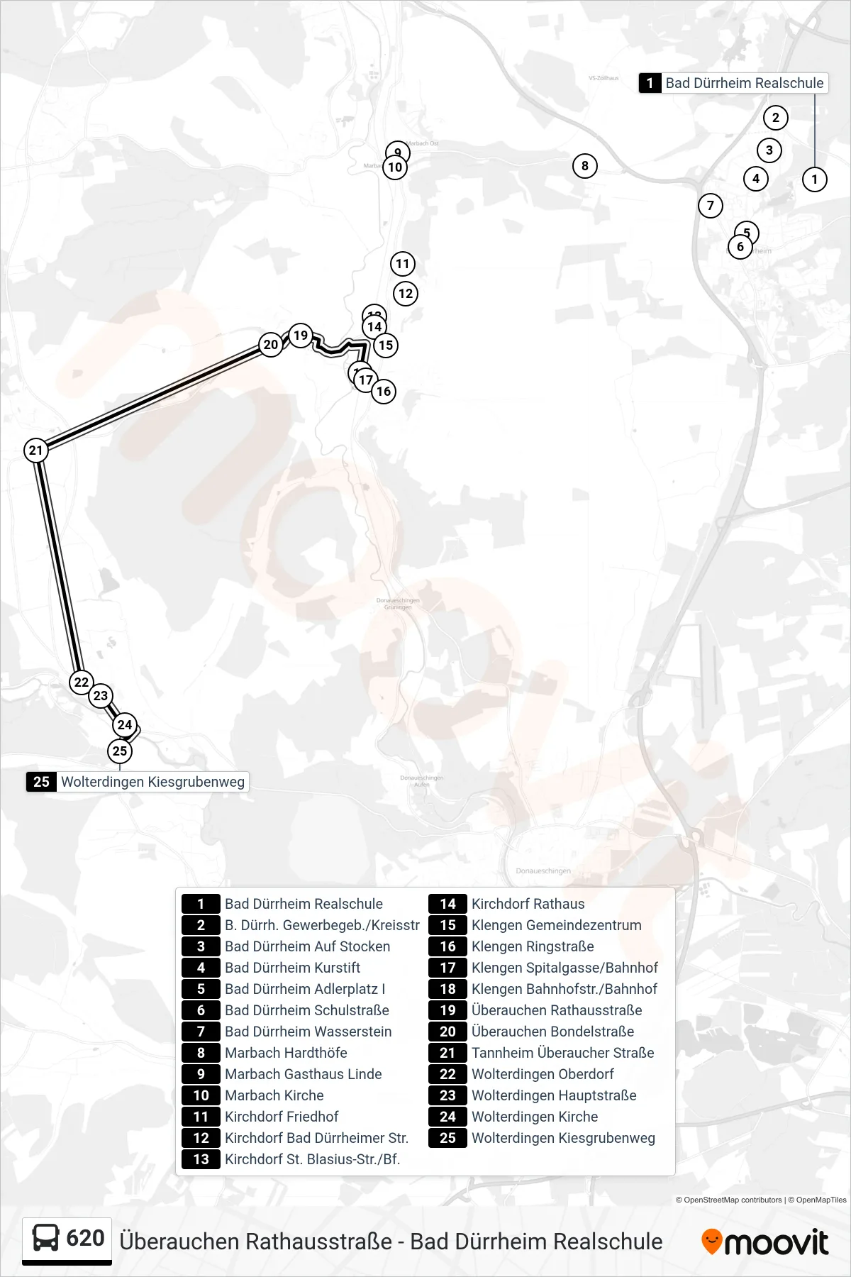
Stops list (620 - Wolterdingen Kiesgrubenweg)
- Bad Dürrheim Realschule
- B. Dürrh. Gewerbegeb./Kreisstr
- Bad Dürrheim Auf Stocken
- Bad Dürrheim Kurstift
- Bad Dürrheim Adlerplatz I
- Bad Dürrheim Schulstraße
- Bad Dürrheim Wasserstein
- Marbach Hardthöfe
- Marbach Gasthaus Linde
- Marbach Kirche
- Kirchdorf Friedhof
- Kirchdorf Bad Dürrheimer Str.
- Kirchdorf St. Blasius-Str./Bf.
- Kirchdorf Rathaus
- Klengen Gemeindezentrum
- Klengen Ringstraße
- Klengen Spitalgasse/Bahnhof
- Klengen Bahnhofstr./Bahnhof
- Überauchen Rathausstraße
- Überauchen Bondelstraße
- Tannheim Überaucher Straße
- Wolterdingen Oberdorf
- Wolterdingen Hauptstraße
- Wolterdingen Kirche
- Wolterdingen Kiesgrubenweg