
63 Bus Route Map
View the 63 route map and see all 63 stops along the route. The map of 63 shows where the bus travels and the location of each stop, making it easy to understand the entire route at a glance.
Explore Prato and Province - Tuscan Bus Lines routes on the map and see where Prato and Province - Tuscan Bus Lines bus services operate. Use the 63 map to find bus stops and see how the 63 connects different areas along its trip.
All 63 stops on the map are displayed in route order, helping you follow the 63 bus from the first stop to the last.
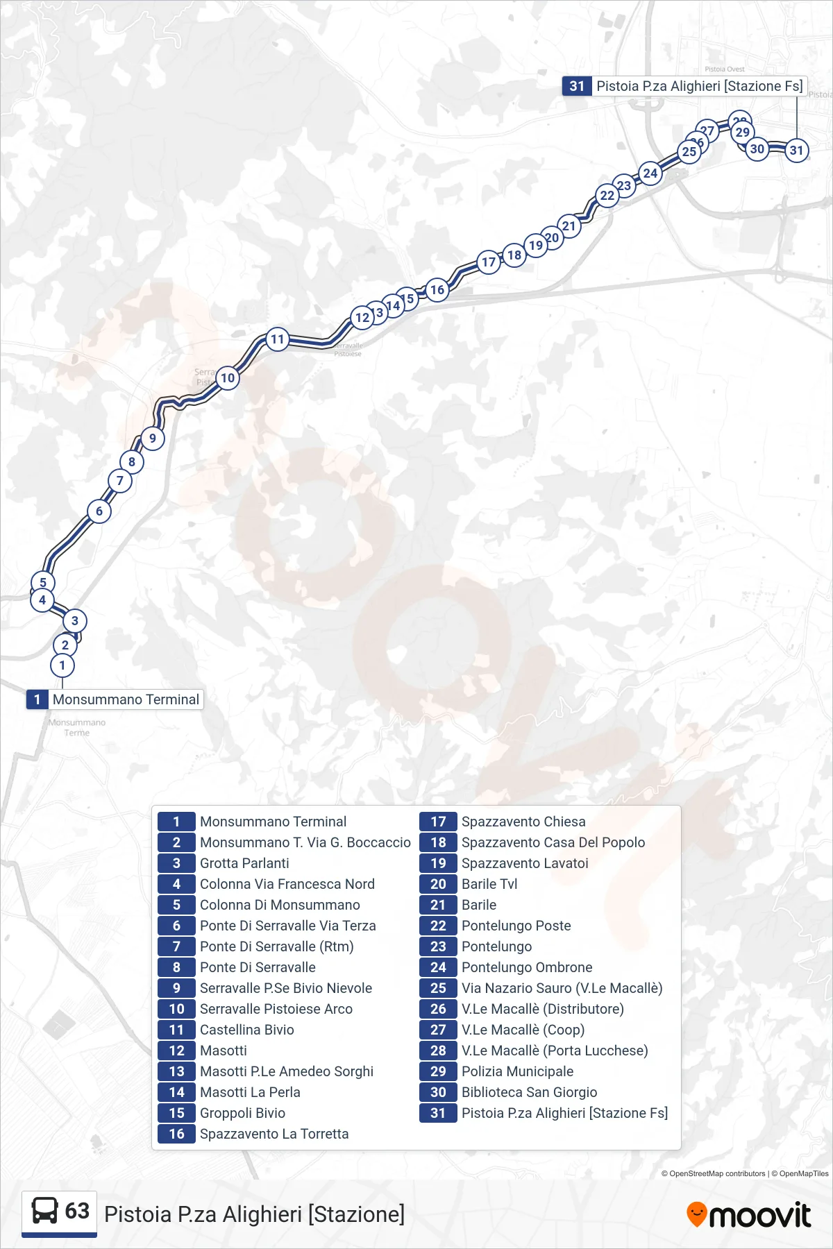
Stops list (63 - Pistoia P.za Alighieri [stazione])
- Monsummano Terminal
- Monsummano T. Boccaccio Street
- Grotta Parlanti
- Colonna Via Francesca North
- Monsummano Column
- Serravalle Bridge Third Street
- Serravalle Bridge (RTM)
- Serravalle Bridge
- Serravalle Pescia Nievole Junction
- Serravalle Pistoiese Arco
- Castellina Junction
- Masotti
- Masotti P.Le Amedeo Sorghi
- Masotti La Perla
- Groppoli Junction
- Spazzavento La Torretta
- Spazzavento Church
- Spazzavento Community Center
- Spazzavento Washhouses
- Barile Tvl
- Barrel
- Pontelungo Post Office
- Pontelungo
- Pontelungo Ombrone
- Via Nazario Sauro (V.Le Macallè)
- Macalle Boulevard (Gas Station)
- Macalle Avenue (Coop)
- Macalle Avenue (Lucchese Gate)
- Municipal Police
- San Giorgio Library
- Pistoia Alighieri Square [Railway Station]