
633 Bus Route Map
View the 633 route map and see all 633 stops along the route. The map of 633 shows where the bus travels and the location of each stop, making it easy to understand the entire route at a glance.
Explore WSW routes on the map and see where WSW bus services operate. Use the 633 map to find bus stops and see how the 633 connects different areas along its trip.
All 633 stops on the map are displayed in route order, helping you follow the 633 bus from the first stop to the last.
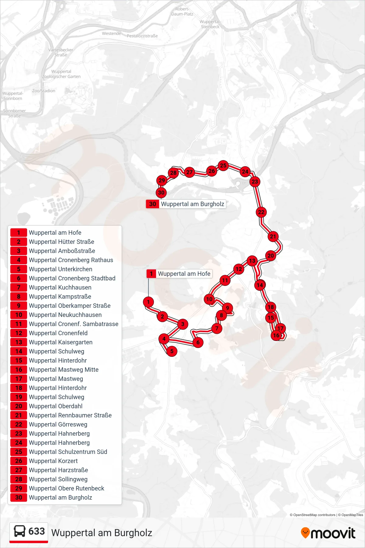
Stops list (633 - Wuppertal am Burgholz)
- Wuppertal am Hofe
- Wuppertal Hütter Straße
- Wuppertal Amboßstraße
- Wuppertal Cronenberg Rathaus
- Wuppertal Unterkirchen
- Wuppertal Cronenberg Stadtbad
- Wuppertal Kuchhausen
- Wuppertal Kampstraße
- Wuppertal Oberkamper Straße
- Wuppertal Neukuchhausen
- Wuppertal Cronenf. Sambatrasse
- Wuppertal Cronenfeld
- Wuppertal Kaisergarten
- Wuppertal Schulweg
- Wuppertal Hinterdohr
- Wuppertal Mastweg Mitte
- Wuppertal Mastweg
- Wuppertal Hinterdohr
- Wuppertal Schulweg
- Wuppertal Oberdahl
- Wuppertal Rennbaumer Straße
- Wuppertal Görresweg
- Wuppertal Hahnerberg
- Wuppertal Hahnerberg
- Wuppertal Schulzentrum Süd
- Wuppertal Korzert
- Wuppertal Harzstraße
- Wuppertal Sollingweg
- Wuppertal Obere Rutenbeck
- Wuppertal am Burgholz