
634 Bus Route Map
View the 634 route map and see all 634 stops along the route. The map of 634 shows where the bus travels and the location of each stop, making it easy to understand the entire route at a glance.
Explore SSB routes on the map and see where SSB bus services operate. Use the 634 map to find bus stops and see how the 634 connects different areas along its trip.
All 634 stops on the map are displayed in route order, helping you follow the 634 bus from the first stop to the last.
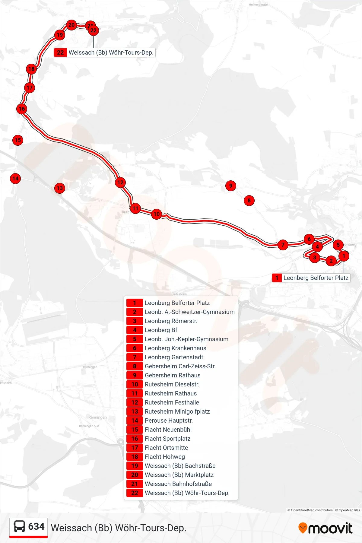
Stops list (634 - Weissach (Bb) Wöhr-Tours-Dep.)
- Leonberg Belforter Platz
- Leonb. A.-Schweitzer-Gymnasium
- Leonberg Römerstr.
- Leonberg Bf
- Leonb. Joh.-Kepler-Gymnasium
- Leonberg Krankenhaus
- Leonberg Gartenstadt
- Gebersheim Carl-Zeiss-Str.
- Gebersheim Rathaus
- Rutesheim Dieselstr.
- Rutesheim Rathaus
- Rutesheim Festhalle
- Rutesheim Minigolfplatz
- Perouse Hauptstr.
- Flacht Neuenbühl
- Flacht Sportplatz
- Flacht Ortsmitte
- Flacht Hohweg
- Weissach (Bb) Bachstraße
- Weissach (Bb) Marktplatz
- Weissach Bahnhofstraße
- Weissach (Bb) Wöhr-Tours-Dep.