
638 Bus Route Map
View the 638 route map and see all 638 stops along the route. The map of 638 shows where the bus travels and the location of each stop, making it easy to understand the entire route at a glance.
Explore Verkehrsverbund Potsdam routes on the map and see where Verkehrsverbund Potsdam bus services operate. Use the 638 map to find bus stops and see how the 638 connects different areas along its trip.
All 638 stops on the map are displayed in route order, helping you follow the 638 bus from the first stop to the last.
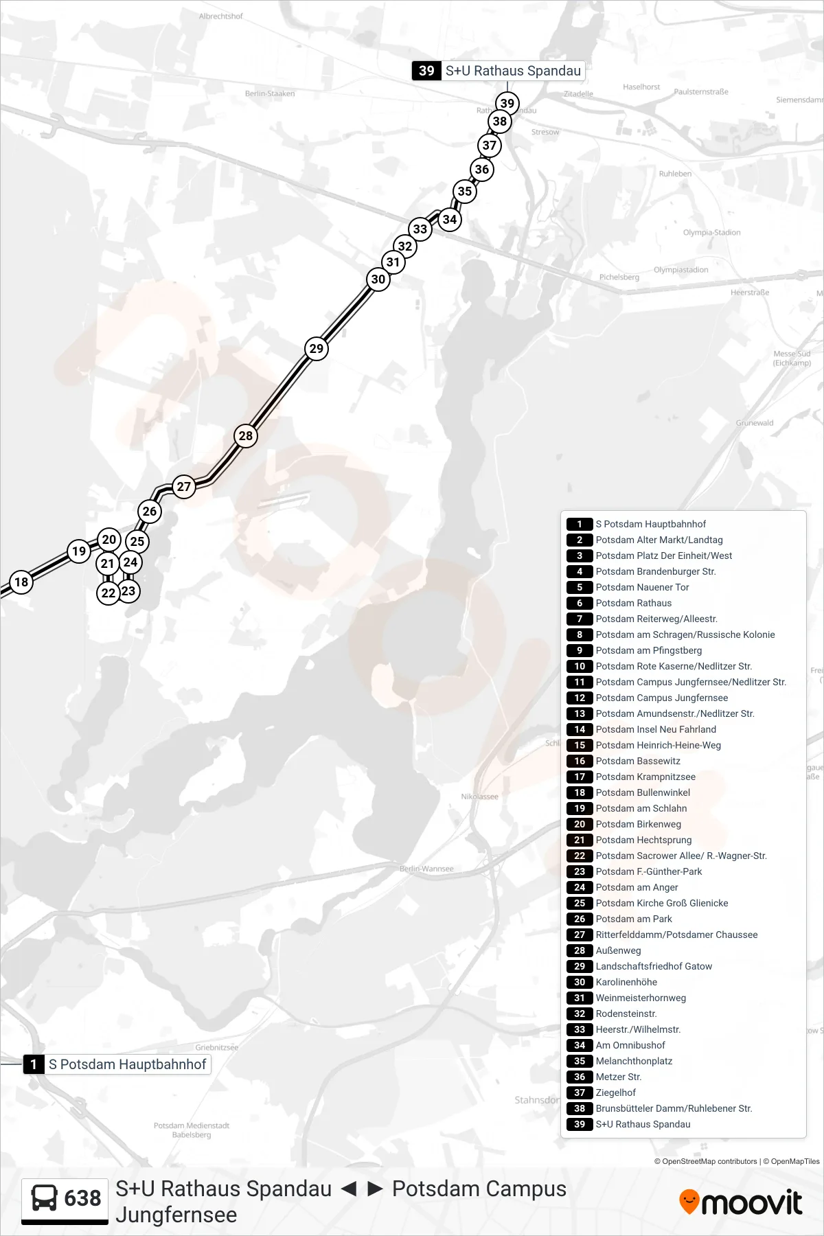
Stops list (638 - S+U Rathaus Spandau)
- S Potsdam Hauptbahnhof
- Potsdam Alter Markt/Landtag
- Potsdam Platz Der Einheit/West
- Potsdam Brandenburger Str.
- Potsdam Nauener Tor
- Potsdam Rathaus
- Potsdam Reiterweg/Alleestr.
- Potsdam am Schragen/Russische Kolonie
- Potsdam am Pfingstberg
- Potsdam Rote Kaserne/Nedlitzer Str.
- Potsdam Campus Jungfernsee/Nedlitzer Str.
- Potsdam Campus Jungfernsee
- Potsdam Amundsenstr./Nedlitzer Str.
- Potsdam Insel Neu Fahrland
- Potsdam Heinrich-Heine-Weg
- Potsdam Bassewitz
- Potsdam Krampnitzsee
- Potsdam Bullenwinkel
- Potsdam am Schlahn
- Potsdam Birkenweg
- Potsdam Hechtsprung
- Potsdam Sacrower Allee/ R.-Wagner-Str.
- Potsdam F.-Günther-Park
- Potsdam am Anger
- Potsdam Kirche Groß Glienicke
- Potsdam am Park
- Ritterfelddamm/Potsdamer Chaussee
- Außenweg
- Landschaftsfriedhof Gatow
- Karolinenhöhe
- Weinmeisterhornweg
- Rodensteinstr.
- Heerstr./Wilhelmstr.
- Am Omnibushof
- Melanchthonplatz
- Metzer Str.
- Ziegelhof
- Brunsbütteler Damm/Ruhlebener Str.
- S+U Rathaus Spandau