
641 Bus Route Map
View the 641 route map and see all 641 stops along the route. The map of 641 shows where the bus travels and the location of each stop, making it easy to understand the entire route at a glance.
Explore Bus (Region) routes on the map and see where Bus (Region) bus services operate. Use the 641 map to find bus stops and see how the 641 connects different areas along its trip.
All 641 stops on the map are displayed in route order, helping you follow the 641 bus from the first stop to the last.
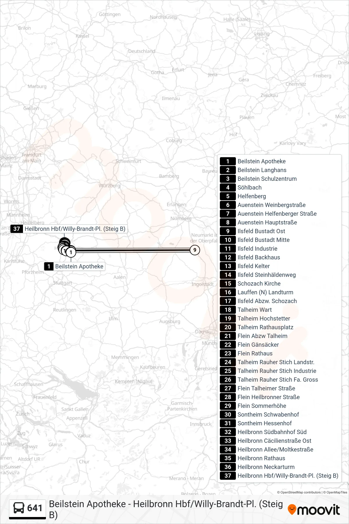
Stops list (641 - Heilbronn Hbf/Willy-Brandt-Pl. (Steig B))
- Beilstein Apotheke
- Beilstein Langhans
- Beilstein Schulzentrum
- Söhlbach
- Helfenberg
- Auenstein Weinbergstraße
- Auenstein Helfenberger Straße
- Auenstein Hauptstraße
- Ilsfeld Bustadt Ost
- Ilsfeld Bustadt Mitte
- Ilsfeld Industrie
- Ilsfeld Backhaus
- Ilsfeld Kelter
- Ilsfeld Steinhäldenweg
- Schozach Kirche
- Lauffen (N) Landturm
- Ilsfeld Abzw. Schozach
- Talheim Wart
- Talheim Hochstetter
- Talheim Rathausplatz
- Flein Abzw Talheim
- Flein Gänsäcker
- Flein Rathaus
- Talheim Rauher Stich Landstr.
- Talheim Rauher Stich Industrie
- Talheim Rauher Stich Fa. Gross
- Flein Talheimer Straße
- Flein Heilbronner Straße
- Flein Sommerhöhe
- Sontheim Schwabenhof
- Sontheim Hessenhof
- Heilbronn Südbahnhof Süd
- Heilbronn Cäcilienstraße Ost
- Heilbronn Allee/Moltkestraße
- Heilbronn Rathaus
- Heilbronn Neckarturm
- Heilbronn Hbf/Willy-Brandt-Pl. (Steig B)