
649 Bus Route Map
View the 649 route map and see all 649 stops along the route. The map of 649 shows where the bus travels and the location of each stop, making it easy to understand the entire route at a glance.
Explore WSW routes on the map and see where WSW bus services operate. Use the 649 map to find bus stops and see how the 649 connects different areas along its trip.
All 649 stops on the map are displayed in route order, helping you follow the 649 bus from the first stop to the last.
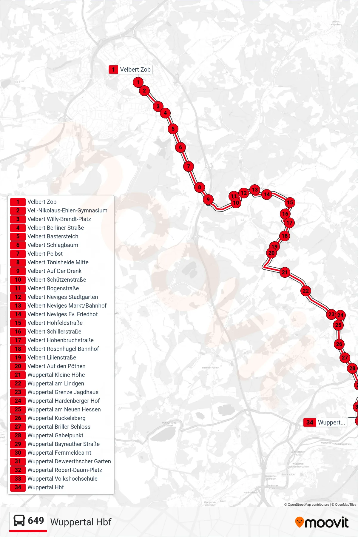
Stops list (649 - Wuppertal Hbf)
- Velbert Zob
- Vel.-Nikolaus-Ehlen-Gymnasium
- Velbert Willy-Brandt-Platz
- Velbert Berliner Straße
- Velbert Bastersteich
- Velbert Schlagbaum
- Velbert Peibst
- Velbert Tönisheide Mitte
- Velbert Auf Der Drenk
- Velbert Schützenstraße
- Velbert Bogenstraße
- Velbert Neviges Stadtgarten
- Velbert Neviges Markt/Bahnhof
- Velbert Neviges Ev. Friedhof
- Velbert Höhfeldstraße
- Velbert Schillerstraße
- Velbert Hohenbruchstraße
- Velbert Rosenhügel Bahnhof
- Velbert Lilienstraße
- Velbert Auf den Pöthen
- Wuppertal Kleine Höhe
- Wuppertal am Lindgen
- Wuppertal Grenze Jagdhaus
- Wuppertal Hardenberger Hof
- Wuppertal am Neuen Hessen
- Wuppertal Kuckelsberg
- Wuppertal Briller Schloss
- Wuppertal Gabelpunkt
- Wuppertal Bayreuther Straße
- Wuppertal Fernmeldeamt
- Wuppertal Deweerthscher Garten
- Wuppertal Robert-Daum-Platz
- Wuppertal Volkshochschule
- Wuppertal Hbf