
65 Bus Route Map
View the 65 route map and see all 65 stops along the route. The map of 65 shows where the bus travels and the location of each stop, making it easy to understand the entire route at a glance.
Explore Regional Transportation District routes on the map and see where Regional Transportation District bus services operate. Use the 65 map to find bus stops and see how the 65 connects different areas along its trip.
All 65 stops on the map are displayed in route order, helping you follow the 65 bus from the first stop to the last.
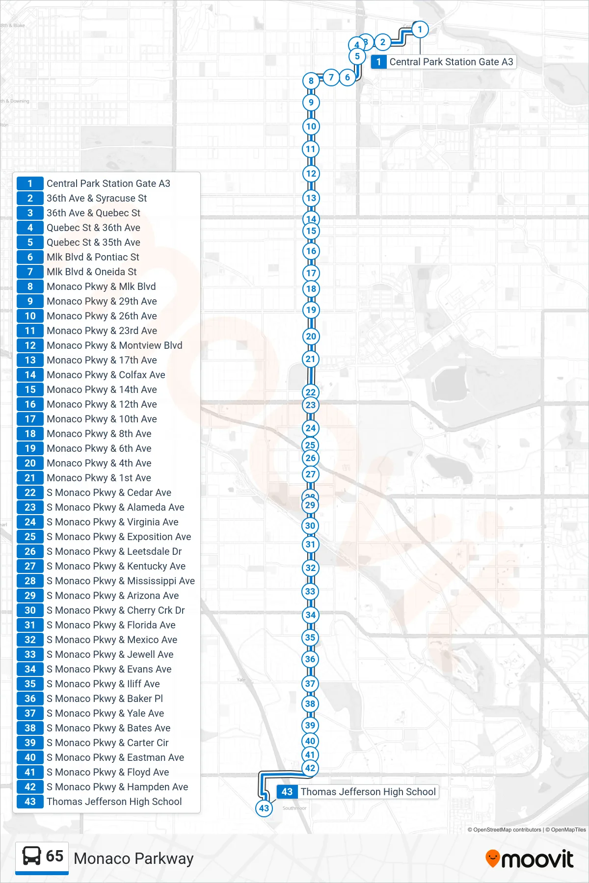
Stops list (65 - Holly/Mansfield Via Monaco)
- Central Park Station Gate A3
- 36th Ave & Syracuse St
- 36th Ave & Quebec St
- Quebec St & 36th Ave
- Quebec St & 35th Ave
- Mlk Blvd & Pontiac St
- Mlk Blvd & Oneida St
- Monaco Pkwy & Mlk Blvd
- Monaco Pkwy & 29th Ave
- Monaco Pkwy & 26th Ave
- Monaco Pkwy & 23rd Ave
- Monaco Pkwy & Montview Blvd
- Monaco Pkwy & 17th Ave
- Monaco Pkwy & Colfax Ave
- Monaco Pkwy & 14th Ave
- Monaco Pkwy & 12th Ave
- Monaco Pkwy & 10th Ave
- Monaco Pkwy & 8th Ave
- Monaco Pkwy & 6th Ave
- Monaco Pkwy & 4th Ave
- Monaco Pkwy & 1st Ave
- S Monaco Pkwy & Cedar Ave
- S Monaco Pkwy & Alameda Ave
- S Monaco Pkwy & Virginia Ave
- S Monaco Pkwy & Exposition Ave
- S Monaco Pkwy & Leetsdale Dr
- S Monaco Pkwy & Kentucky Ave
- S Monaco Pkwy & Mississippi Ave
- S Monaco Pkwy & Arizona Ave
- S Monaco Pkwy & Cherry Crk Dr
- S Monaco Pkwy & Florida Ave
- S Monaco Pkwy & Mexico Ave
- S Monaco Pkwy & Jewell Ave
- S Monaco Pkwy & Evans Ave
- S Monaco Pkwy & Iliff Ave
- S Monaco Pkwy & Baker Pl
- S Monaco Pkwy & Yale Ave
- S Monaco Pkwy & Bates Ave
- S Monaco Pkwy & Carter Cir
- S Monaco Pkwy & Eastman Ave
- S Monaco Pkwy & Floyd Ave
- S Monaco Pkwy & Hampden Ave
- Thomas Jefferson High School