
669 Bus Route Map
View the 669 route map and see all 669 stops along the route. The map of 669 shows where the bus travels and the location of each stop, making it easy to understand the entire route at a glance.
Explore Heidenheimer Verkehrsgesellschaft routes on the map and see where Heidenheimer Verkehrsgesellschaft bus services operate. Use the 669 map to find bus stops and see how the 669 connects different areas along its trip.
All 669 stops on the map are displayed in route order, helping you follow the 669 bus from the first stop to the last.
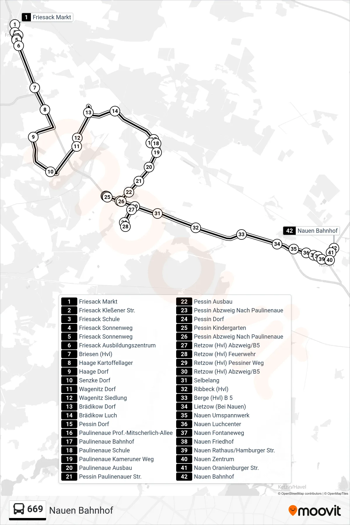
Stops list (669 - Nauen Bahnhof)
- Friesack Markt
- Friesack Kleßener Str.
- Friesack Schule
- Friesack Sonnenweg
- Friesack Sonnenweg
- Friesack Ausbildungszentrum
- Briesen (Hvl)
- Haage Kartoffellager
- Haage Dorf
- Senzke Dorf
- Wagenitz Dorf
- Wagenitz Siedlung
- Brädikow Dorf
- Brädikow Luch
- Pessin Dorf
- Paulinenaue Prof.-Mitscherlich-Allee
- Paulinenaue Bahnhof
- Paulinenaue Schule
- Paulinenaue Kameruner Weg
- Paulinenaue Ausbau
- Pessin Paulinenauer Str.
- Pessin Ausbau
- Pessin Abzweig Nach Paulinenaue
- Pessin Dorf
- Pessin Kindergarten
- Pessin Abzweig Nach Paulinenaue
- Retzow (Hvl) Abzweig/B5
- Retzow (Hvl) Feuerwehr
- Retzow (Hvl) Pessiner Weg
- Retzow (Hvl) Abzweig/B5
- Selbelang
- Ribbeck (Hvl)
- Berge (Hvl) B 5
- Lietzow (Bei Nauen)
- Nauen Umspannwerk
- Nauen Luchcenter
- Nauen Fontaneweg
- Nauen Friedhof
- Nauen Rathaus/Hamburger Str.
- Nauen Zentrum
- Nauen Oranienburger Str.
- Nauen Bahnhof