
68 Bus Route Map
View the 68 route map and see all 68 stops along the route. The map of 68 shows where the bus travels and the location of each stop, making it easy to understand the entire route at a glance.
Explore Marin Transit routes on the map and see where Marin Transit bus services operate. Use the 68 map to find bus stops and see how the 68 connects different areas along its trip.
All 68 stops on the map are displayed in route order, helping you follow the 68 bus from the first stop to the last.
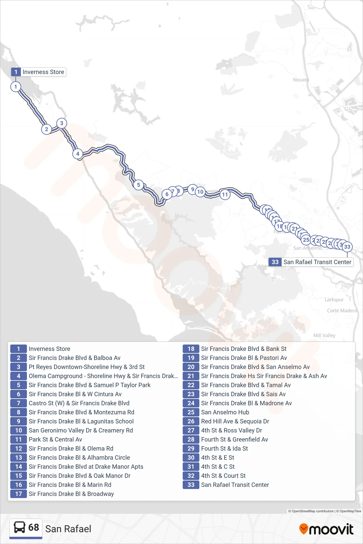
Stops list (68 - San Rafael)
- Inverness Store
- Sir Francis Drake Blvd & Balboa Av
- Pt Reyes Downtown-Shoreline Hwy & 3rd St
- Olema Campground - Shoreline Hwy & Sir Francis Drake Blvd
- Sir Francis Drake Blvd & Samuel P Taylor Park
- Sir Francis Drake Bl & W Cintura Av
- Castro St (W) & Sir Francis Drake Blvd
- Sir Francis Drake Blvd & Montezuma Rd
- Sir Francis Drake Bl & Lagunitas School
- San Geronimo Valley Dr & Creamery Rd
- Park St & Central Av
- Sir Francis Drake Bl & Olema Rd
- Sir Francis Drake Bl & Alhambra Circle
- Sir Francis Drake Blvd at Drake Manor Apts
- Sir Francis Drake Blvd & Oak Manor Dr
- Sir Francis Drake Bl & Marin Rd
- Sir Francis Drake Bl & Broadway
- Sir Francis Drake Blvd & Bank St
- Sir Francis Drake Bl & Pastori Av
- Sir Francis Drake Blvd & San Anselmo Av
- Sir Francis Drake Hs Sir Francis Drake & Ash Av
- Sir Francis Drake Blvd & Tamal Av
- Sir Francis Drake Blvd & Sais Av
- Sir Francis Drake Bl & Madrone Av
- San Anselmo Hub
- Red Hill Ave & Sequoia Dr
- 4th St & Ross Valley Dr
- Fourth St & Greenfield Av
- Fourth St & Ida St
- 4th St & E St
- 4th St & C St
- 4th St & Court St
- San Rafael Transit Center