
680 Bus Route Map
View the 680 route map and see all 680 stops along the route. The map of 680 shows where the bus travels and the location of each stop, making it easy to understand the entire route at a glance.
Explore DBSch routes on the map and see where DBSch bus services operate. Use the 680 map to find bus stops and see how the 680 connects different areas along its trip.
All 680 stops on the map are displayed in route order, helping you follow the 680 bus from the first stop to the last.
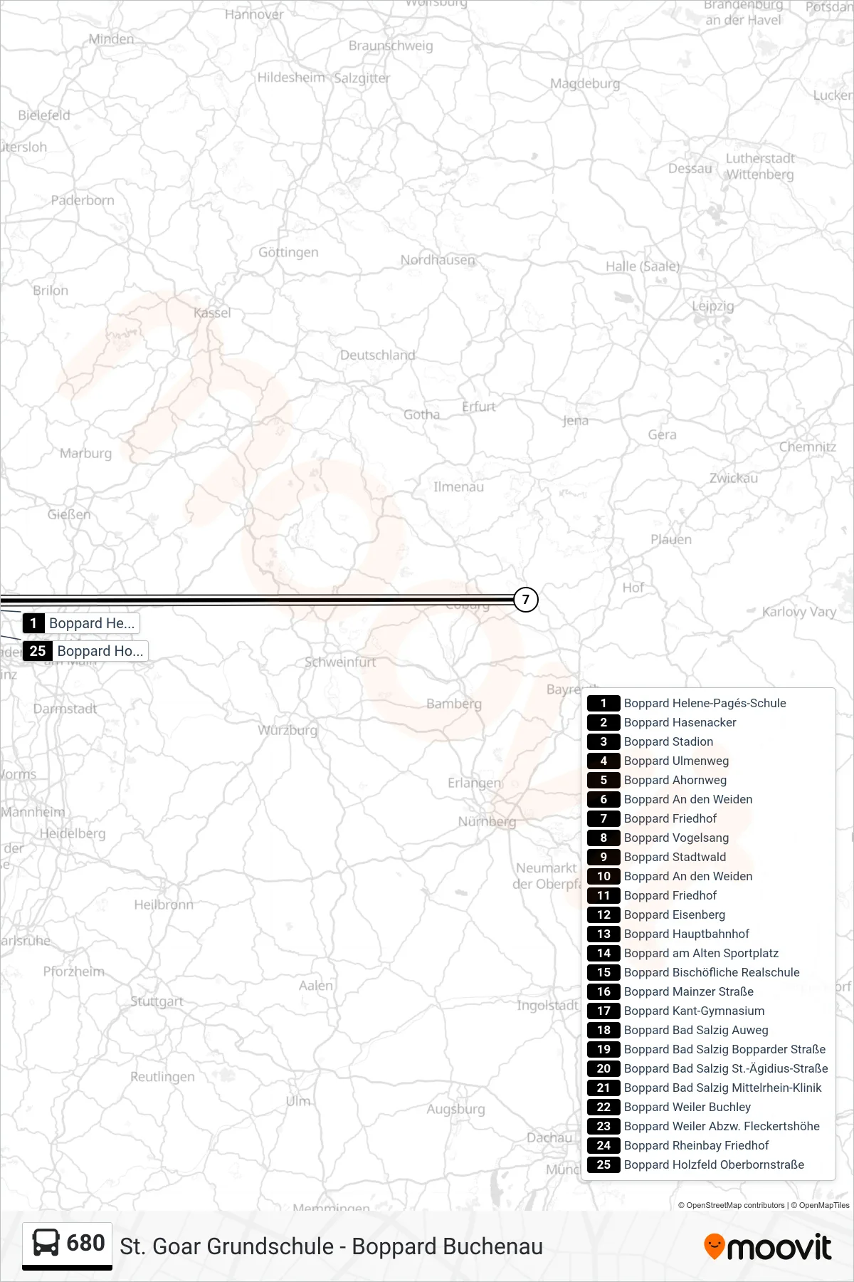
Stops list (680 - Boppard Holzfeld Oberbornstraße)
- Boppard Helene-Pagés-Schule
- Boppard Hasenacker
- Boppard Stadion
- Boppard Ulmenweg
- Boppard Ahornweg
- Boppard An den Weiden
- Boppard Friedhof
- Boppard Vogelsang
- Boppard Stadtwald
- Boppard An den Weiden
- Boppard Friedhof
- Boppard Eisenberg
- Boppard Hauptbahnhof
- Boppard am Alten Sportplatz
- Boppard Bischöfliche Realschule
- Boppard Mainzer Straße
- Boppard Kant-Gymnasium
- Boppard Bad Salzig Auweg
- Boppard Bad Salzig Bopparder Straße
- Boppard Bad Salzig St.-Ägidius-Straße
- Boppard Bad Salzig Mittelrhein-Klinik
- Boppard Weiler Buchley
- Boppard Weiler Abzw. Fleckertshöhe
- Boppard Rheinbay Friedhof
- Boppard Holzfeld Oberbornstraße
Change direction
- Route Map - 680 - Boppard Helene-Pagés-Schule
- Route Map - 680 - Boppard Buchenau
- Route Map - 680 - Boppard Kant-Gymnasium
- Route Map - 680 - St. Goar Rathaus
- Route Map - 680 - Boppard Hasenacker
- Route Map - 680 - St. Goar Werlau am Rheinweg
- Route Map - 680 - St. Goar Grundschule
- Route Map - 680 - Boppard Holzfeld Oberbornstraße
- Route Map - 680 - Boppard Hauptbahnhof
- Route Map - 680 - Boppard Hauptbahnhof