
7 Bus Route Map
View the 7 route map and see all 7 stops along the route. The map of 7 shows where the bus travels and the location of each stop, making it easy to understand the entire route at a glance.
Explore WRTA routes on the map and see where WRTA bus services operate. Use the 7 map to find bus stops and see how the 7 connects different areas along its trip.
All 7 stops on the map are displayed in route order, helping you follow the 7 bus from the first stop to the last.
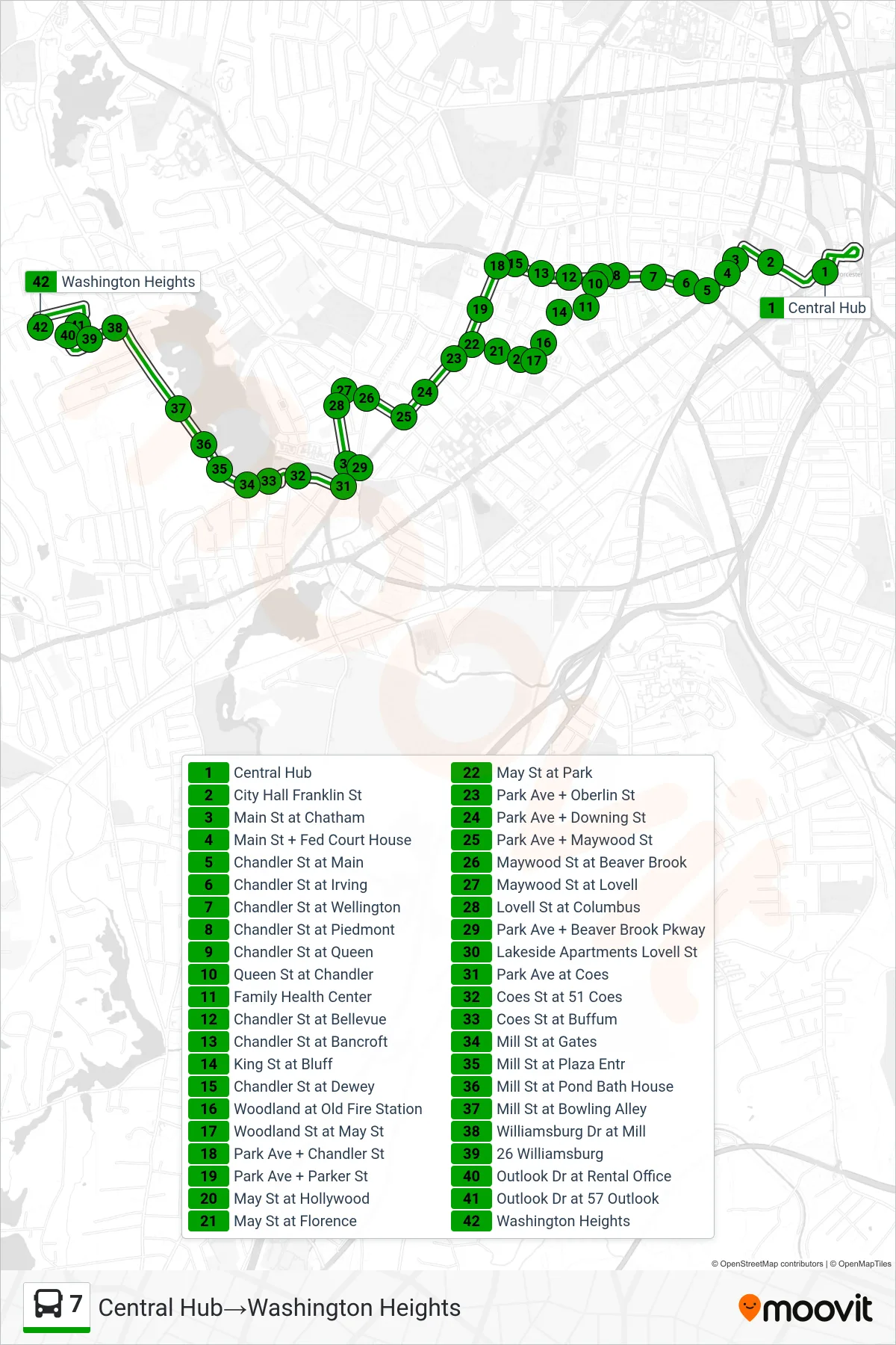
Stops list (7 - Central Hub→Washington Heights)
- Central Hub
- City Hall Franklin St
- Main St at Chatham
- Main St + Fed Court House
- Chandler St at Main
- Chandler St at Irving
- Chandler St at Wellington
- Chandler St at Piedmont
- Chandler St at Queen
- Queen St at Chandler
- Family Health Center
- Chandler St at Bellevue
- Chandler St at Bancroft
- King St at Bluff
- Chandler St at Dewey
- Woodland at Old Fire Station
- Woodland St at May St
- Park Ave + Chandler St
- Park Ave + Parker St
- May St at Hollywood
- May St at Florence
- May St at Park
- Park Ave + Oberlin St
- Park Ave + Downing St
- Park Ave + Maywood St
- Maywood St at Beaver Brook
- Maywood St at Lovell
- Lovell St at Columbus
- Park Ave + Beaver Brook Pkway
- Lakeside Apartments Lovell St
- Park Ave at Coes
- Coes St at 51 Coes
- Coes St at Buffum
- Mill St at Gates
- Mill St at Plaza Entr
- Mill St at Pond Bath House
- Mill St at Bowling Alley
- Williamsburg Dr at Mill
- 26 Williamsburg
- Outlook Dr at Rental Office
- Outlook Dr at 57 Outlook
- Washington Heights