
7 Bus Route Map
View the 7 route map and see all 7 stops along the route. The map of 7 shows where the bus travels and the location of each stop, making it easy to understand the entire route at a glance.
Explore Kahlgrund VG routes on the map and see where Kahlgrund VG bus services operate. Use the 7 map to find bus stops and see how the 7 connects different areas along its trip.
All 7 stops on the map are displayed in route order, helping you follow the 7 bus from the first stop to the last.
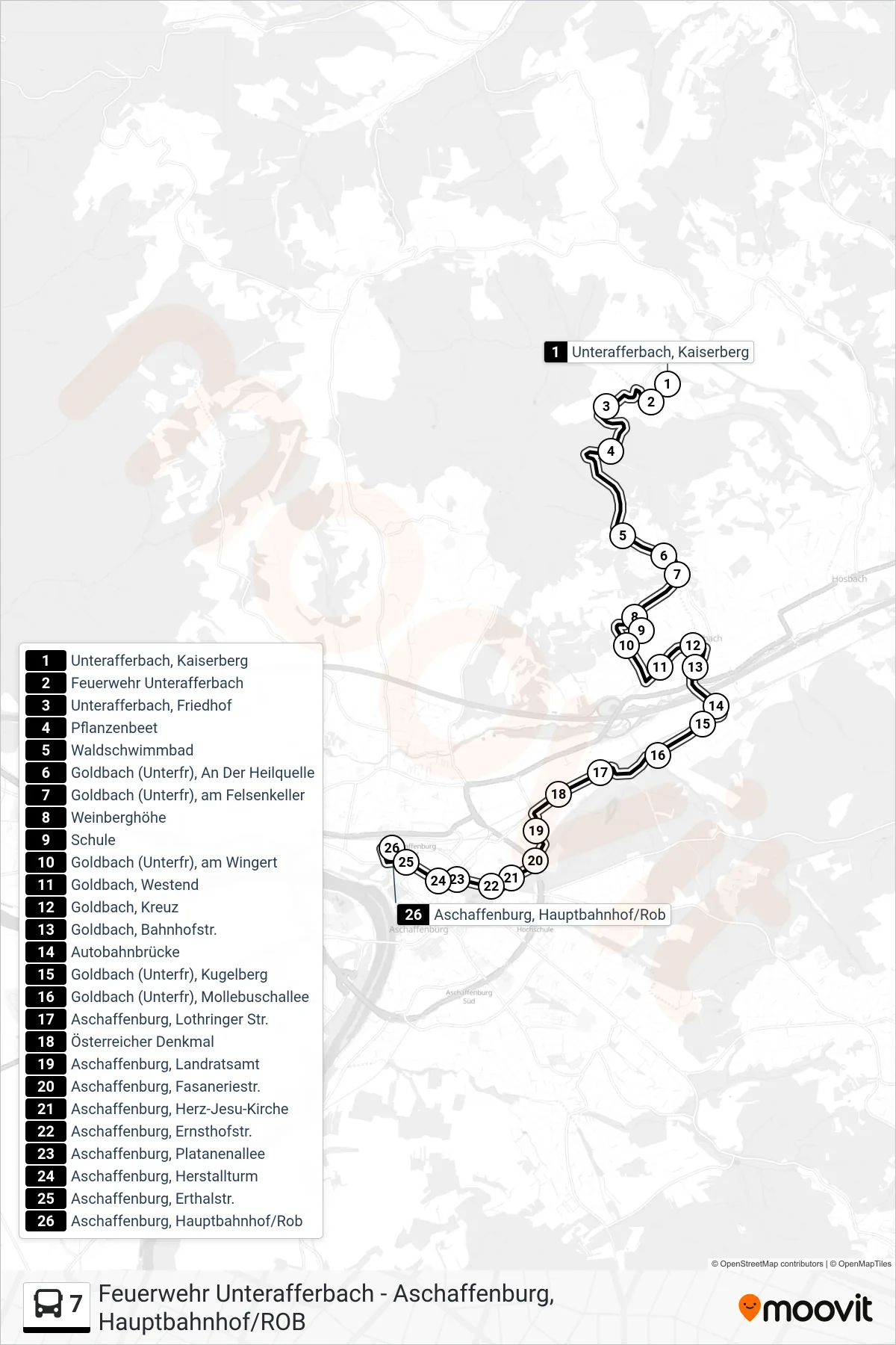
Stops list (7 - Aschaffenburg, Hauptbahnhof/Rob)
- Unterafferbach, Kaiserberg
- Feuerwehr Unterafferbach
- Unterafferbach, Friedhof
- Pflanzenbeet
- Waldschwimmbad
- Goldbach (Unterfr), An Der Heilquelle
- Goldbach (Unterfr), am Felsenkeller
- Weinberghöhe
- Schule
- Goldbach (Unterfr), am Wingert
- Goldbach, Westend
- Goldbach, Kreuz
- Goldbach, Bahnhofstr.
- Autobahnbrücke
- Goldbach (Unterfr), Kugelberg
- Goldbach (Unterfr), Mollebuschallee
- Aschaffenburg, Lothringer Str.
- Österreicher Denkmal
- Aschaffenburg, Landratsamt
- Aschaffenburg, Fasaneriestr.
- Aschaffenburg, Herz-Jesu-Kirche
- Aschaffenburg, Ernsthofstr.
- Aschaffenburg, Platanenallee
- Aschaffenburg, Herstallturm
- Aschaffenburg, Erthalstr.
- Aschaffenburg, Hauptbahnhof/Rob