
7 Bus Route Map
View the 7 route map and see all 7 stops along the route. The map of 7 shows where the bus travels and the location of each stop, making it easy to understand the entire route at a glance.
Explore MVG Märkische Verkehrsgesellschaft GmbH routes on the map and see where MVG Märkische Verkehrsgesellschaft GmbH bus services operate. Use the 7 map to find bus stops and see how the 7 connects different areas along its trip.
All 7 stops on the map are displayed in route order, helping you follow the 7 bus from the first stop to the last.
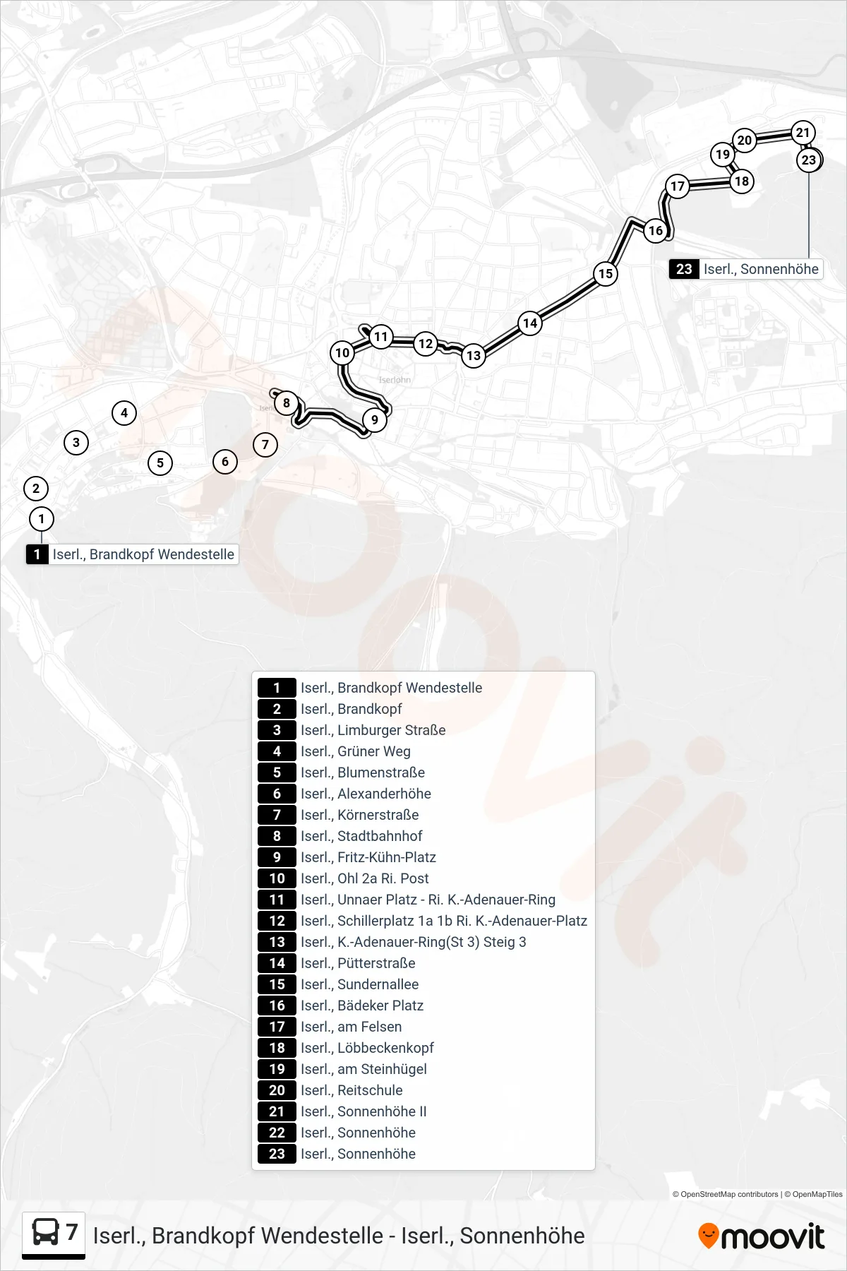
Stops list (7 - Iserl., Sonnenhöhe)
- Iserl., Brandkopf Wendestelle
- Iserl., Brandkopf
- Iserl., Limburger Straße
- Iserl., Grüner Weg
- Iserl., Blumenstraße
- Iserl., Alexanderhöhe
- Iserl., Körnerstraße
- Iserl., Stadtbahnhof
- Iserl., Fritz-Kühn-Platz
- Iserl., Ohl 2a Ri. Post
- Iserl., Unnaer Platz - Ri. K.-Adenauer-Ring
- Iserl., Schillerplatz 1a 1b Ri. K.-Adenauer-Platz
- Iserl., K.-Adenauer-Ring(St 3) Steig 3
- Iserl., Pütterstraße
- Iserl., Sundernallee
- Iserl., Bädeker Platz
- Iserl., am Felsen
- Iserl., Löbbeckenkopf
- Iserl., am Steinhügel
- Iserl., Reitschule
- Iserl., Sonnenhöhe II
- Iserl., Sonnenhöhe
- Iserl., Sonnenhöhe