
7 Bus Route Map
View the 7 route map and see all 7 stops along the route. The map of 7 shows where the bus travels and the location of each stop, making it easy to understand the entire route at a glance.
Explore Stadtwerke Hamm GmbH - Verkehrsbetrieb routes on the map and see where Stadtwerke Hamm GmbH - Verkehrsbetrieb bus services operate. Use the 7 map to find bus stops and see how the 7 connects different areas along its trip.
All 7 stops on the map are displayed in route order, helping you follow the 7 bus from the first stop to the last.
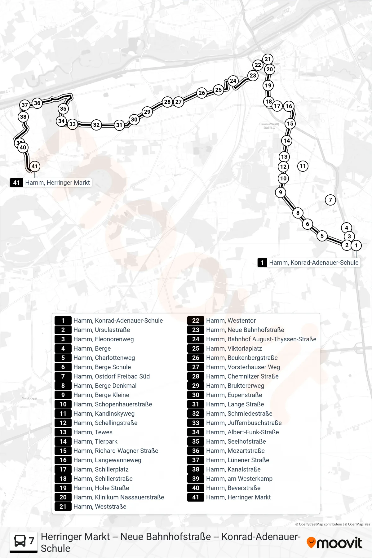
Stops list (7 - Hamm, Herringer Markt)
- Hamm, Konrad-Adenauer-Schule
- Hamm, Ursulastraße
- Hamm, Eleonorenweg
- Hamm, Berge
- Hamm, Charlottenweg
- Hamm, Berge Schule
- Hamm, Ostdorf Freibad Süd
- Hamm, Berge Denkmal
- Hamm, Berge Kleine
- Hamm, Schopenhauerstraße
- Hamm, Kandinskyweg
- Hamm, Schellingstraße
- Hamm, Tewes
- Hamm, Tierpark
- Hamm, Richard-Wagner-Straße
- Hamm, Langewanneweg
- Hamm, Schillerplatz
- Hamm, Schillerstraße
- Hamm, Hohe Straße
- Hamm, Klinikum Nassauerstraße
- Hamm, Weststraße
- Hamm, Westentor
- Hamm, Neue Bahnhofstraße
- Hamm, Bahnhof August-Thyssen-Straße
- Hamm, Viktoriaplatz
- Hamm, Beukenbergstraße
- Hamm, Vorsterhauser Weg
- Hamm, Chemnitzer Straße
- Hamm, Bruktererweg
- Hamm, Eupenstraße
- Hamm, Lange Straße
- Hamm, Schmiedestraße
- Hamm, Juffernbuschstraße
- Hamm, Albert-Funk-Straße
- Hamm, Seelhofstraße
- Hamm, Mozartstraße
- Hamm, Lünener Straße
- Hamm, Kanalstraße
- Hamm, am Westerkamp
- Hamm, Beverstraße
- Hamm, Herringer Markt