
700 Bus Route Map
View the 700 route map and see all 700 stops along the route. The map of 700 shows where the bus travels and the location of each stop, making it easy to understand the entire route at a glance.
Explore GoTriangle routes on the map and see where GoTriangle bus services operate. Use the 700 map to find bus stops and see how the 700 connects different areas along its trip.
All 700 stops on the map are displayed in route order, helping you follow the 700 bus from the first stop to the last.
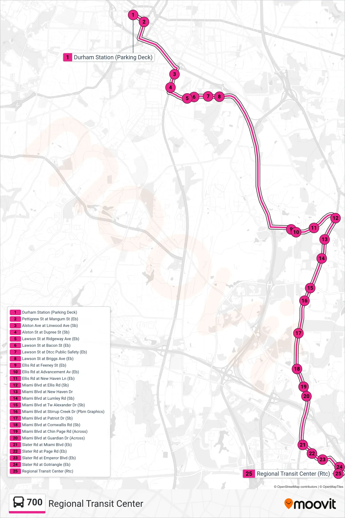
Stops list (700 - Regional Transit Center)
- Durham Station (Parking Deck)
- Pettigrew St at Mangum St (Eb)
- Alston Ave at Linwood Ave (Sb)
- Alston St at Dupree St (Sb)
- Lawson St at Ridgeway Ave (Eb)
- Lawson St at Bacon St (Eb)
- Lawson St at Dtcc Public Safety (Eb)
- Lawson St at Briggs Ave (Eb)
- Ellis Rd at Feeney St (Eb)
- Ellis Rd at Advancement Av (Eb)
- Ellis Rd at New Haven Ln (Eb)
- Miami Blvd at Ellis Rd (Sb)
- Miami Blvd at New Haven Dr
- Miami Blvd at Lumley Rd (Sb)
- Miami Blvd at Tw Alexander Dr (Sb)
- Miami Blvd at Stirrup Creek Dr (Pbm Graphics)
- Miami Blvd at Patriot Dr (Sb)
- Miami Blvd at Cornwallis Rd (Sb)
- Miami Blvd at Chin Page Rd (Across)
- Miami Blvd at Guardian Dr (Across)
- Slater Rd at Miami Blvd (Eb)
- Slater Rd at Page Rd (Eb)
- Slater Rd at Emperor Blvd (Eb)
- Slater Rd at Gotriangle (Eb)
- Regional Transit Center (Rtc)