
71 Bus Route Map
View the 71 route map and see all 71 stops along the route. The map of 71 shows where the bus travels and the location of each stop, making it easy to understand the entire route at a glance.
Explore Verkehrsbetrieb Rhein-Westerwald GmbH routes on the map and see where Verkehrsbetrieb Rhein-Westerwald GmbH bus services operate. Use the 71 map to find bus stops and see how the 71 connects different areas along its trip.
All 71 stops on the map are displayed in route order, helping you follow the 71 bus from the first stop to the last.
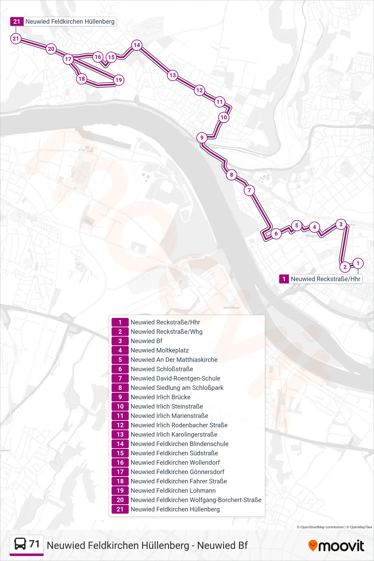
Stops list (71 - Neuwied Feldkirchen Hüllenberg)
- Neuwied Reckstraße/Hhr
- Neuwied Reckstraße/Whg
- Neuwied Bf
- Neuwied Moltkeplatz
- Neuwied An Der Matthiaskirche
- Neuwied Schloßstraße
- Neuwied David-Roentgen-Schule
- Neuwied Siedlung am Schloßpark
- Neuwied Irlich Brücke
- Neuwied Irlich Steinstraße
- Neuwied Irlich Marienstraße
- Neuwied Irlich Rodenbacher Straße
- Neuwied Irlich Karolingerstraße
- Neuwied Feldkirchen Blindenschule
- Neuwied Feldkirchen Südstraße
- Neuwied Feldkirchen Wollendorf
- Neuwied Feldkirchen Gönnersdorf
- Neuwied Feldkirchen Fahrer Straße
- Neuwied Feldkirchen Lohmann
- Neuwied Feldkirchen Wolfgang-Borchert-Straße
- Neuwied Feldkirchen Hüllenberg