
72 Cable Car Route Map
View the 72 route map and see all 72 stops along the route. The map of 72 shows where the cable car travels and the location of each stop, making it easy to understand the entire route at a glance.
Explore ALV Oberhessen routes on the map and see where ALV Oberhessen cable car services operate. Use the 72 map to find cable car stations and see how the 72 connects different areas along its trip.
All 72 stops on the map are displayed in route order, helping you follow the 72 cable car from the first station to the last.
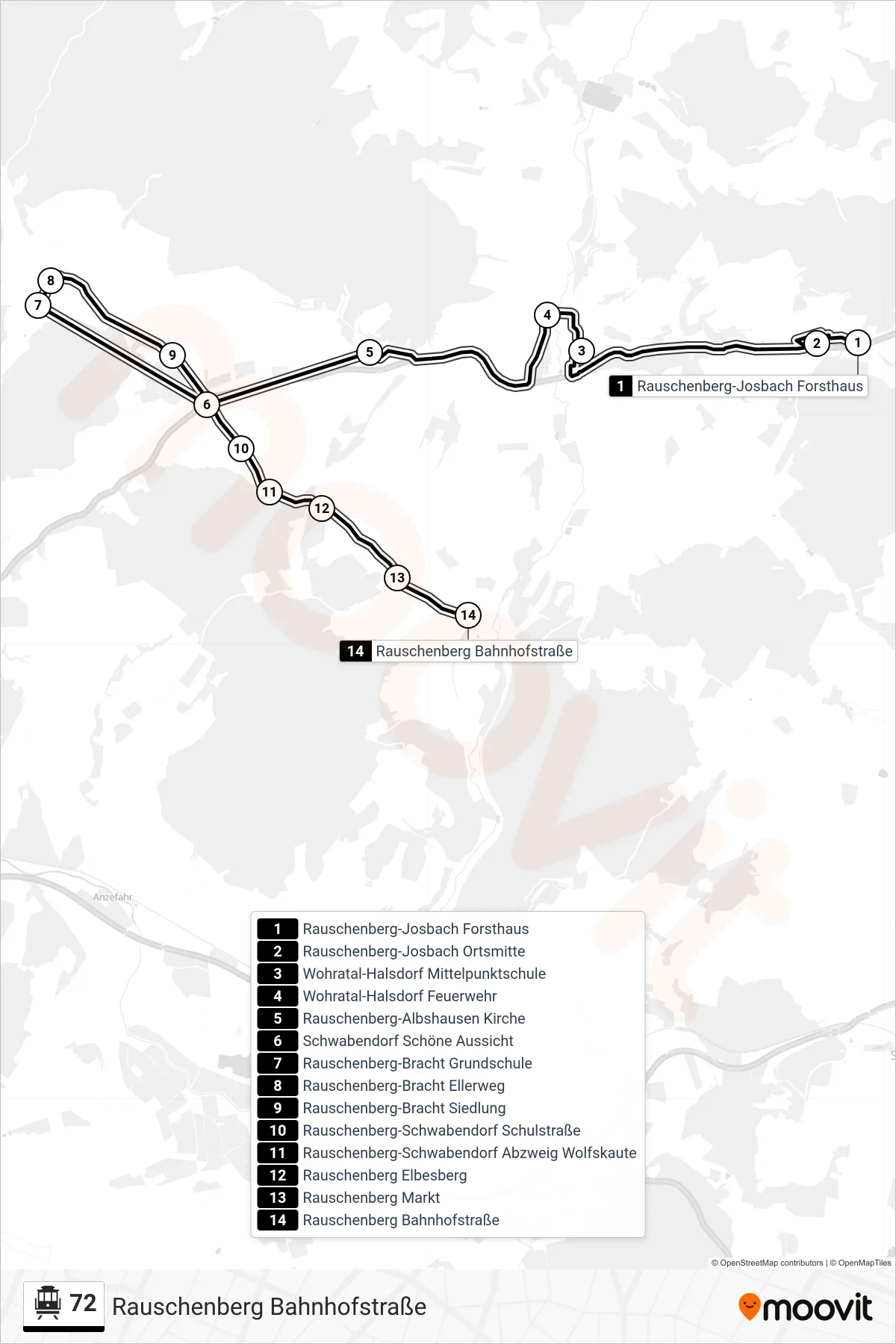
Stops list (72 - Rauschenberg Bahnhofstraße)
- Rauschenberg-Josbach Forsthaus
- Rauschenberg-Josbach Ortsmitte
- Wohratal-Halsdorf Mittelpunktschule
- Wohratal-Halsdorf Feuerwehr
- Rauschenberg-Albshausen Kirche
- Schwabendorf Schöne Aussicht
- Rauschenberg-Bracht Grundschule
- Rauschenberg-Bracht Ellerweg
- Rauschenberg-Bracht Siedlung
- Rauschenberg-Schwabendorf Schulstraße
- Rauschenberg-Schwabendorf Abzweig Wolfskaute
- Rauschenberg Elbesberg
- Rauschenberg Markt
- Rauschenberg Bahnhofstraße