
72 Bus Route Map
View the 72 route map and see all 72 stops along the route. The map of 72 shows where the bus travels and the location of each stop, making it easy to understand the entire route at a glance.
Explore STAR routes on the map and see where STAR bus services operate. Use the 72 map to find bus stops and see how the 72 connects different areas along its trip.
All 72 stops on the map are displayed in route order, helping you follow the 72 bus from the first stop to the last.
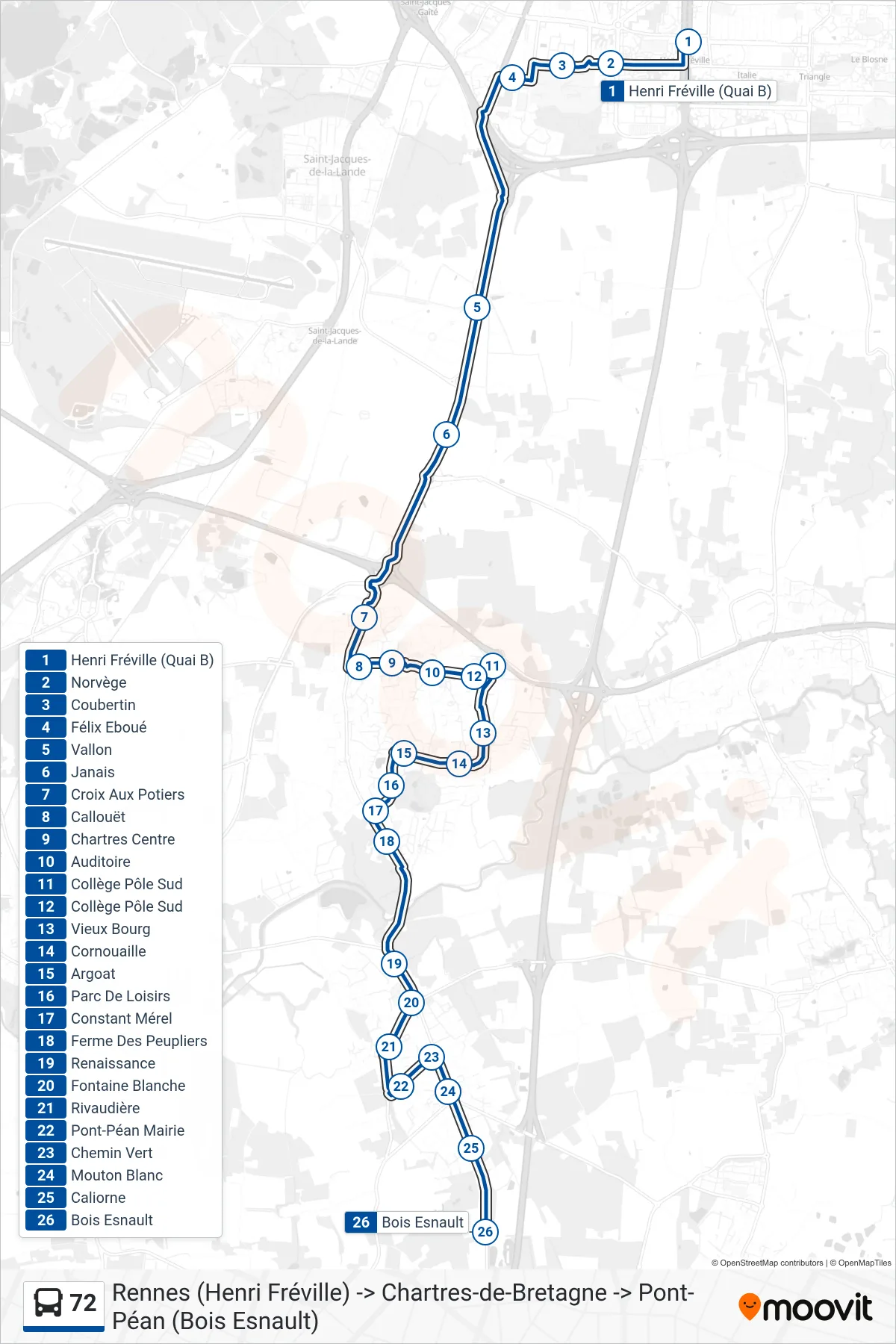
Stops list (72 - Chartres De Bretagne - Pont-Péan)
- Henri Fréville (Quai B)
- Norvège
- Coubertin
- Félix Eboué
- Vallon
- Janais
- Croix Aux Potiers
- Callouët
- Chartres Centre
- Auditoire
- Collège Pôle Sud
- Collège Pôle Sud
- Vieux Bourg
- Cornouaille
- Argoat
- Parc De Loisirs
- Constant Mérel
- Ferme Des Peupliers
- Renaissance
- Fontaine Blanche
- Rivaudière
- Pont-Péan Mairie
- Chemin Vert
- Mouton Blanc
- Caliorne
- Bois Esnault