
73 Bus Route Map
View the 73 route map and see all 73 stops along the route. The map of 73 shows where the bus travels and the location of each stop, making it easy to understand the entire route at a glance.
Explore Verkehrsbetrieb Rhein-Westerwald GmbH routes on the map and see where Verkehrsbetrieb Rhein-Westerwald GmbH bus services operate. Use the 73 map to find bus stops and see how the 73 connects different areas along its trip.
All 73 stops on the map are displayed in route order, helping you follow the 73 bus from the first stop to the last.
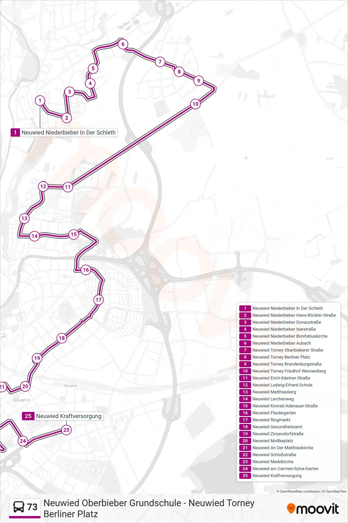
Stops list (73 - Neuwied Kraftversorgung)
- Neuwied Niederbieber In Der Schleth
- Neuwied Niederbieber Hans-Böckler-Straße
- Neuwied Niederbieber Donaustraße
- Neuwied Niederbieber Isarstraße
- Neuwied Niederbieber Bonifatiuskirche
- Neuwied Niederbieber Aubach
- Neuwied Torney Oberbieberer Straße
- Neuwied Torney Berliner Platz
- Neuwied Torney Brandenburgstraße
- Neuwied Torney Friedhof Wennenberg
- Neuwied Erich-Kästner-Straße
- Neuwied Ludwig-Erhard-Schule
- Neuwied Matthiasberg
- Neuwied Lerchenweg
- Neuwied Konrad-Adenauer-Straße
- Neuwied Fliedergarten
- Neuwied Ringmarkt
- Neuwied Gesundheitsamt
- Neuwied Zinzendorfstraße
- Neuwied Moltkeplatz
- Neuwied An Der Matthiaskirche
- Neuwied Schloßstraße
- Neuwied Marktkirche
- Neuwied am Carmen-Sylva-Garten
- Neuwied Kraftversorgung