
73 Bus Route Map
View the 73 route map and see all 73 stops along the route. The map of 73 shows where the bus travels and the location of each stop, making it easy to understand the entire route at a glance.
Explore Gairing NU routes on the map and see where Gairing NU bus services operate. Use the 73 map to find bus stops and see how the 73 connects different areas along its trip.
All 73 stops on the map are displayed in route order, helping you follow the 73 bus from the first stop to the last.
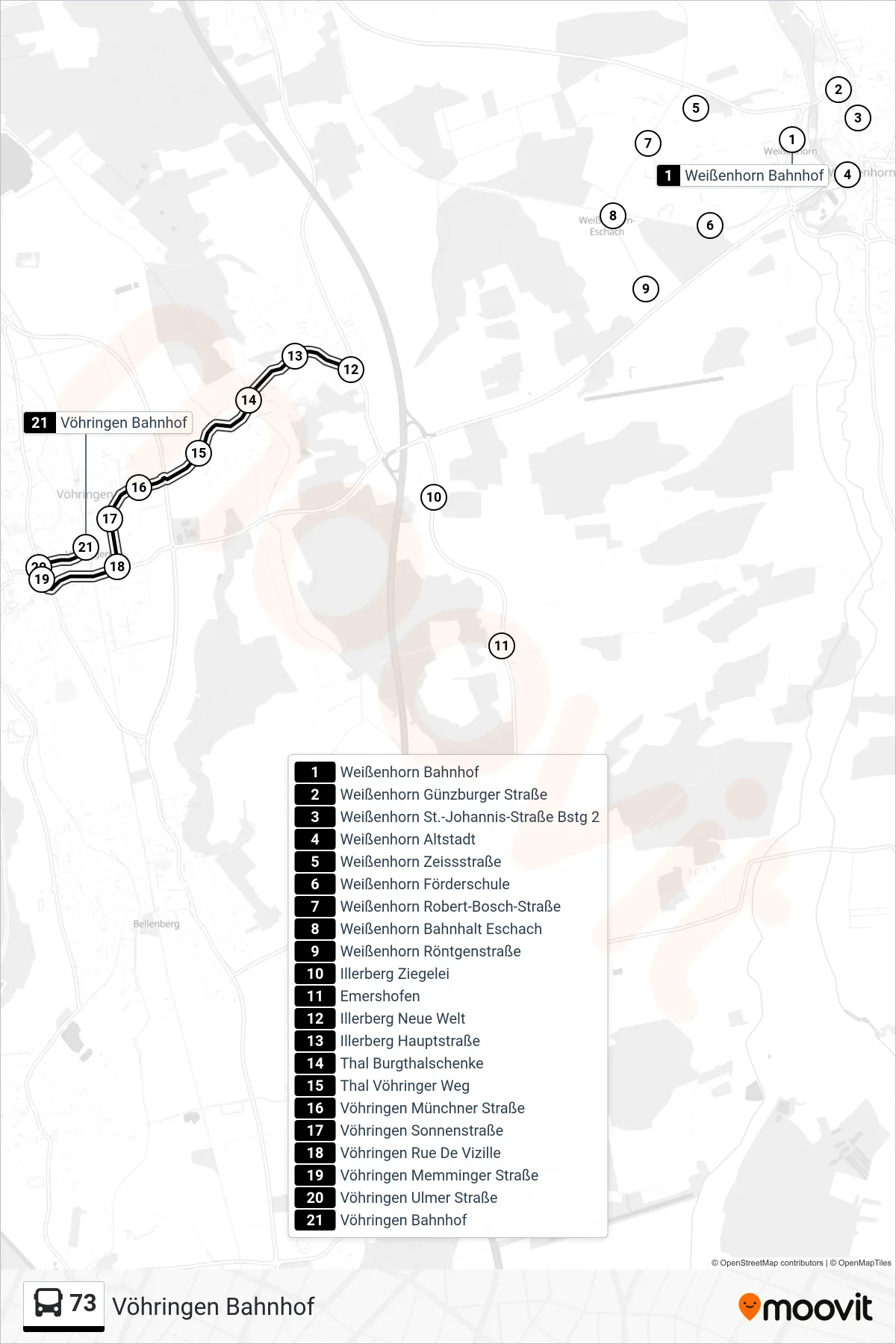
Stops list (73 - Vöhringen Bahnhof)
- Weißenhorn Bahnhof
- Weißenhorn Günzburger Straße
- Weißenhorn St.-Johannis-Straße Bstg 2
- Weißenhorn Altstadt
- Weißenhorn Zeissstraße
- Weißenhorn Förderschule
- Weißenhorn Robert-Bosch-Straße
- Weißenhorn Bahnhalt Eschach
- Weißenhorn Röntgenstraße
- Illerberg Ziegelei
- Emershofen
- Illerberg Neue Welt
- Illerberg Hauptstraße
- Thal Burgthalschenke
- Thal Vöhringer Weg
- Vöhringen Münchner Straße
- Vöhringen Sonnenstraße
- Vöhringen Rue De Vizille
- Vöhringen Memminger Straße
- Vöhringen Ulmer Straße
- Vöhringen Bahnhof
Change direction
- Route Map - 73 - Ay Germanenstraße
- Route Map - 73 - Weißenhorn Bahnhof
- Route Map - 73 - Emershofen
- Route Map - 73 - Vöhringen Bahnhof
- Route Map - 73 - Senden Bahnhof
- Route Map - 73 - Vöhringen Kirchplatz
- Route Map - 73 - Ulm Zob
- Route Map - 73 - Illerberg Neue Welt
- Route Map - 73 - Weißenhorn Birkenweg
- Route Map - 73 - Senden Bahnhof
- Route Map - 73 - Vöhringen Realschule