
76 Bus Route Map
View the 76 route map and see all 76 stops along the route. The map of 76 shows where the bus travels and the location of each stop, making it easy to understand the entire route at a glance.
Explore Verkehrsbetrieb Rhein-Westerwald GmbH routes on the map and see where Verkehrsbetrieb Rhein-Westerwald GmbH bus services operate. Use the 76 map to find bus stops and see how the 76 connects different areas along its trip.
All 76 stops on the map are displayed in route order, helping you follow the 76 bus from the first stop to the last.
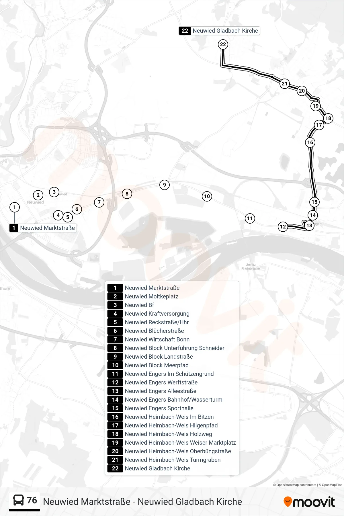
Stops list (76 - Neuwied Gladbach Kirche)
- Neuwied Marktstraße
- Neuwied Moltkeplatz
- Neuwied Bf
- Neuwied Kraftversorgung
- Neuwied Reckstraße/Hhr
- Neuwied Blücherstraße
- Neuwied Wirtschaft Bonn
- Neuwied Block Unterführung Schneider
- Neuwied Block Landstraße
- Neuwied Block Meerpfad
- Neuwied Engers Im Schützengrund
- Neuwied Engers Werftstraße
- Neuwied Engers Alleestraße
- Neuwied Engers Bahnhof/Wasserturm
- Neuwied Engers Sporthalle
- Neuwied Heimbach-Weis Im Bitzen
- Neuwied Heimbach-Weis Hilgenpfad
- Neuwied Heimbach-Weis Holzweg
- Neuwied Heimbach-Weis Weiser Marktplatz
- Neuwied Heimbach-Weis Oberbüngstraße
- Neuwied Heimbach-Weis Turmgraben
- Neuwied Gladbach Kirche