
76 Bus Route Map
View the 76 route map and see all 76 stops along the route. The map of 76 shows where the bus travels and the location of each stop, making it easy to understand the entire route at a glance.
Explore Montgomery County Ride On routes on the map and see where Montgomery County Ride On bus services operate. Use the 76 map to find bus stops and see how the 76 connects different areas along its trip.
All 76 stops on the map are displayed in route order, helping you follow the 76 bus from the first stop to the last.
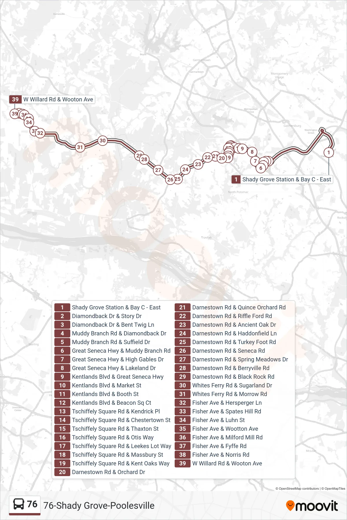
Stops list (76 - Poolesville)
- Shady Grove Station & Bay C - East
- Diamondback Dr & Story Dr
- Diamondback Dr & Bent Twig Ln
- Muddy Branch Rd & Diamondback Dr
- Muddy Branch Rd & Suffield Dr
- Great Seneca Hwy & Muddy Branch Rd
- Great Seneca Hwy & High Gables Dr
- Great Seneca Hwy & Lakeland Dr
- Kentlands Blvd & Great Seneca Hwy
- Kentlands Blvd & Market St
- Kentlands Blvd & Booth St
- Kentlands Blvd & Beacon Sq Ct
- Tschiffely Square Rd & Kendrick Pl
- Tschiffely Square Rd & Chestertown St
- Tschiffely Square Rd & Thaxton St
- Tschiffely Square Rd & Otis Way
- Tschiffely Square Rd & Leekes Lot Way
- Tschiffely Square Rd & Massbury St
- Tschiffely Square Rd & Kent Oaks Way
- Darnestown Rd & Orchard Dr
- Darnestown Rd & Quince Orchard Rd
- Darnestown Rd & Riffle Ford Rd
- Darnestown Rd & Ancient Oak Dr
- Darnestown Rd & Haddonfield Ln
- Darnestown Rd & Turkey Foot Rd
- Darnestown Rd & Seneca Rd
- Darnestown Rd & Spring Meadows Dr
- Darnestown Rd & Berryville Rd
- Darnestown Rd & Black Rock Rd
- Whites Ferry Rd & Sugarland Dr
- Whites Ferry Rd & Morrow Rd
- Fisher Ave & Hersperger Ln
- Fisher Ave & Spates Hill Rd
- Fisher Ave & Luhn St
- Fisher Ave & Wootton Ave
- Fisher Ave & Milford Mill Rd
- Fisher Ave & Fyffe Rd
- Fisher Ave & Norris Rd
- W Willard Rd & Wooton Ave