
791 Bus Route Map
View the 791 route map and see all 791 stops along the route. The map of 791 shows where the bus travels and the location of each stop, making it easy to understand the entire route at a glance.
Explore bkr-mobility & DB Regio Bus Mitte & Sche routes on the map and see where bkr-mobility & DB Regio Bus Mitte & Sche bus services operate. Use the 791 map to find bus stops and see how the 791 connects different areas along its trip.
All 791 stops on the map are displayed in route order, helping you follow the 791 bus from the first stop to the last.
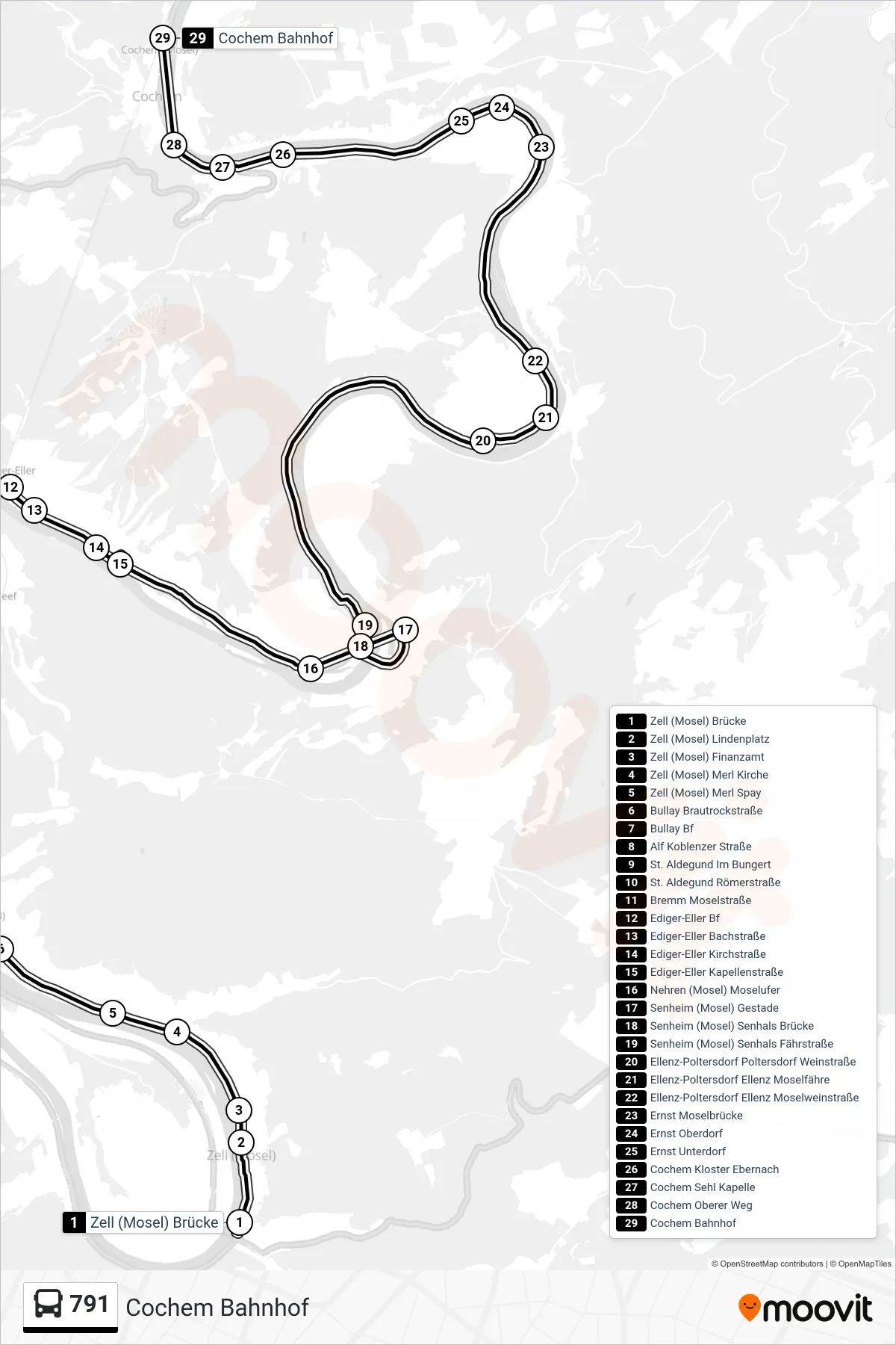
Stops list (791 - Cochem Bahnhof)
- Zell (Mosel) Brücke
- Zell (Mosel) Lindenplatz
- Zell (Mosel) Finanzamt
- Zell (Mosel) Merl Kirche
- Zell (Mosel) Merl Spay
- Bullay Brautrockstraße
- Bullay Bf
- Alf Koblenzer Straße
- St. Aldegund Im Bungert
- St. Aldegund Römerstraße
- Bremm Moselstraße
- Ediger-Eller Bf
- Ediger-Eller Bachstraße
- Ediger-Eller Kirchstraße
- Ediger-Eller Kapellenstraße
- Nehren (Mosel) Moselufer
- Senheim (Mosel) Gestade
- Senheim (Mosel) Senhals Brücke
- Senheim (Mosel) Senhals Fährstraße
- Ellenz-Poltersdorf Poltersdorf Weinstraße
- Ellenz-Poltersdorf Ellenz Moselfähre
- Ellenz-Poltersdorf Ellenz Moselweinstraße
- Ernst Moselbrücke
- Ernst Oberdorf
- Ernst Unterdorf
- Cochem Kloster Ebernach
- Cochem Sehl Kapelle
- Cochem Oberer Weg
- Cochem Bahnhof