
7A Bus Route Map
View the 7A route map and see all 7A stops along the route. The map of 7A shows where the bus travels and the location of each stop, making it easy to understand the entire route at a glance.
Explore Bus Átha Cliath – Dublin Bus routes on the map and see where Bus Átha Cliath – Dublin Bus bus services operate. Use the 7A map to find bus stops and see how the 7A connects different areas along its trip.
All 7A stops on the map are displayed in route order, helping you follow the 7A bus from the first stop to the last.
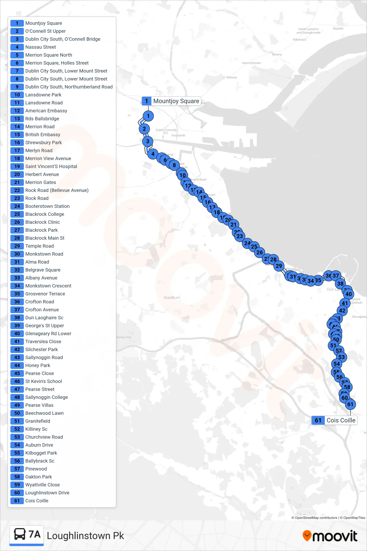
Stops list (7A - Loughlinstown Pk)
- Mountjoy Square
- O'Connell St Upper
- Dublin City South, O'Connell Bridge
- Nassau Street
- Merrion Square North
- Merrion Square, Holles Street
- Dublin City South, Lower Mount Street
- Dublin City South, Lower Mount Street
- Dublin City South, Northumberland Road
- Lansdowne Park
- Lansdowne Road
- American Embassy
- Rds Ballsbridge
- Merrion Road
- British Embassy
- Shrewsbury Park
- Merlyn Road
- Merrion View Avenue
- Saint Vincent'S Hospital
- Herbert Avenue
- Merrion Gates
- Rock Road (Bellevue Avenue)
- Rock Road
- Booterstown Station
- Blackrock College
- Blackrock Clinic
- Blackrock Park
- Blackrock Main St
- Temple Road
- Monkstown Road
- Alma Road
- Belgrave Square
- Albany Avenue
- Monkstown Crescent
- Grosvenor Terrace
- Crofton Road
- Crofton Avenue
- Dun Laoghaire Sc
- George's St Upper
- Glenageary Rd Lower
- Traverslea Close
- Silchester Park
- Sallynoggin Road
- Honey Park
- Pearse Close
- St Kevin's School
- Pearse Street
- Sallynoggin College
- Pearse Villas
- Beechwood Lawn
- Granitefield
- Killiney Sc
- Churchview Road
- Auburn Drive
- Kilbogget Park
- Ballybrack Sc
- Pinewood
- Oakton Park
- Wyattville Close
- Loughlinstown Drive
- Cois Coille