
8 Bus Route Map
View the 8 route map and see all 8 stops along the route. The map of 8 shows where the bus travels and the location of each stop, making it easy to understand the entire route at a glance.
Explore Stadtwerke Marburg GmbH routes on the map and see where Stadtwerke Marburg GmbH bus services operate. Use the 8 map to find bus stops and see how the 8 connects different areas along its trip.
All 8 stops on the map are displayed in route order, helping you follow the 8 bus from the first stop to the last.
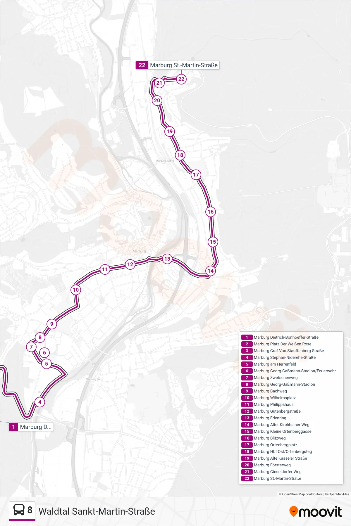
Stops list (8 - Waldtal Sankt-Martin-Straße)
- Marburg Dietrich-Bonhoeffer-Straße
- Marburg Platz Der Weißen Rose
- Marburg Graf-Von-Stauffenberg-Straße
- Marburg Stephan-Niderehe-Straße
- Marburg am Herrenfeld
- Marburg Georg-Gaßmann-Stadion/Feuerwehr
- Marburg Zwetschenweg
- Marburg Georg-Gaßmann-Stadion
- Marburg Bachweg
- Marburg Wilhelmsplatz
- Marburg Philippshaus
- Marburg Gutenbergstraße
- Marburg Erlenring
- Marburg Alter Kirchhainer Weg
- Marburg Kleine Ortenberggasse
- Marburg Blitzweg
- Marburg Ortenbergplatz
- Marburg Hbf Ost/Ortenbergsteg
- Marburg Alte Kasseler Straße
- Marburg Försterweg
- Marburg Ginseldorfer Weg
- Marburg St.-Martin-Straße