
8 Bus Route Map
View the 8 route map and see all 8 stops along the route. The map of 8 shows where the bus travels and the location of each stop, making it easy to understand the entire route at a glance.
Explore RET routes on the map and see where RET bus services operate. Use the 8 map to find bus stops and see how the 8 connects different areas along its trip.
All 8 stops on the map are displayed in route order, helping you follow the 8 bus from the first stop to the last.
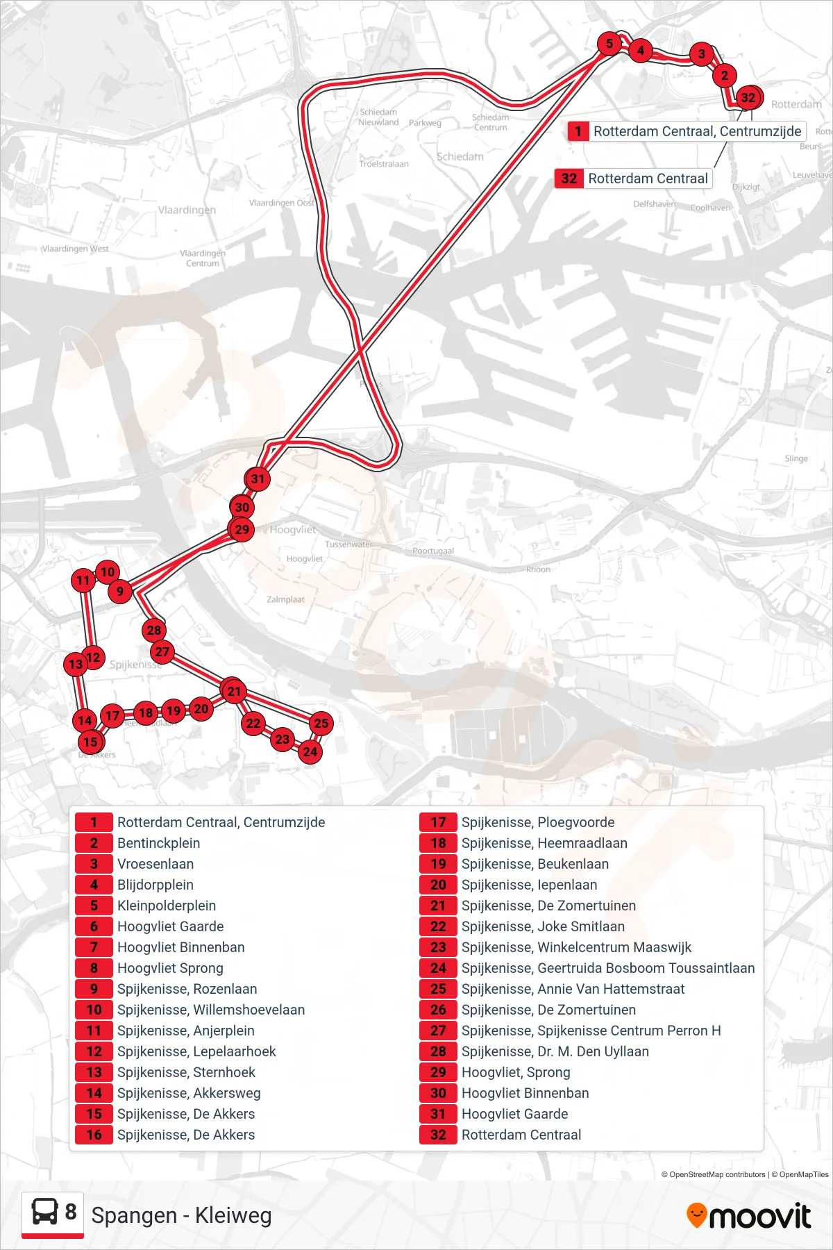
Stops list (8 - Rotterdam Centraal)
- Rotterdam Centraal, Centrumzijde
- Bentinckplein
- Vroesenlaan
- Blijdorpplein
- Kleinpolderplein
- Hoogvliet Gaarde
- Hoogvliet Binnenban
- Hoogvliet Sprong
- Spijkenisse, Rozenlaan
- Spijkenisse, Willemshoevelaan
- Spijkenisse, Anjerplein
- Spijkenisse, Lepelaarhoek
- Spijkenisse, Sternhoek
- Spijkenisse, Akkersweg
- Spijkenisse, De Akkers
- Spijkenisse, De Akkers
- Spijkenisse, Ploegvoorde
- Spijkenisse, Heemraadlaan
- Spijkenisse, Beukenlaan
- Spijkenisse, Iepenlaan
- Spijkenisse, De Zomertuinen
- Spijkenisse, Joke Smitlaan
- Spijkenisse, Winkelcentrum Maaswijk
- Spijkenisse, Geertruida Bosboom Toussaintlaan
- Spijkenisse, Annie Van Hattemstraat
- Spijkenisse, De Zomertuinen
- Spijkenisse, Spijkenisse Centrum Perron H
- Spijkenisse, Dr. M. Den Uyllaan
- Hoogvliet, Sprong
- Hoogvliet Binnenban
- Hoogvliet Gaarde
- Rotterdam Centraal