
80 Bus Route Map
View the 80 route map and see all 80 stops along the route. The map of 80 shows where the bus travels and the location of each stop, making it easy to understand the entire route at a glance.
Explore ALV Oberhessen routes on the map and see where ALV Oberhessen bus services operate. Use the 80 map to find bus stops and see how the 80 connects different areas along its trip.
All 80 stops on the map are displayed in route order, helping you follow the 80 bus from the first stop to the last.
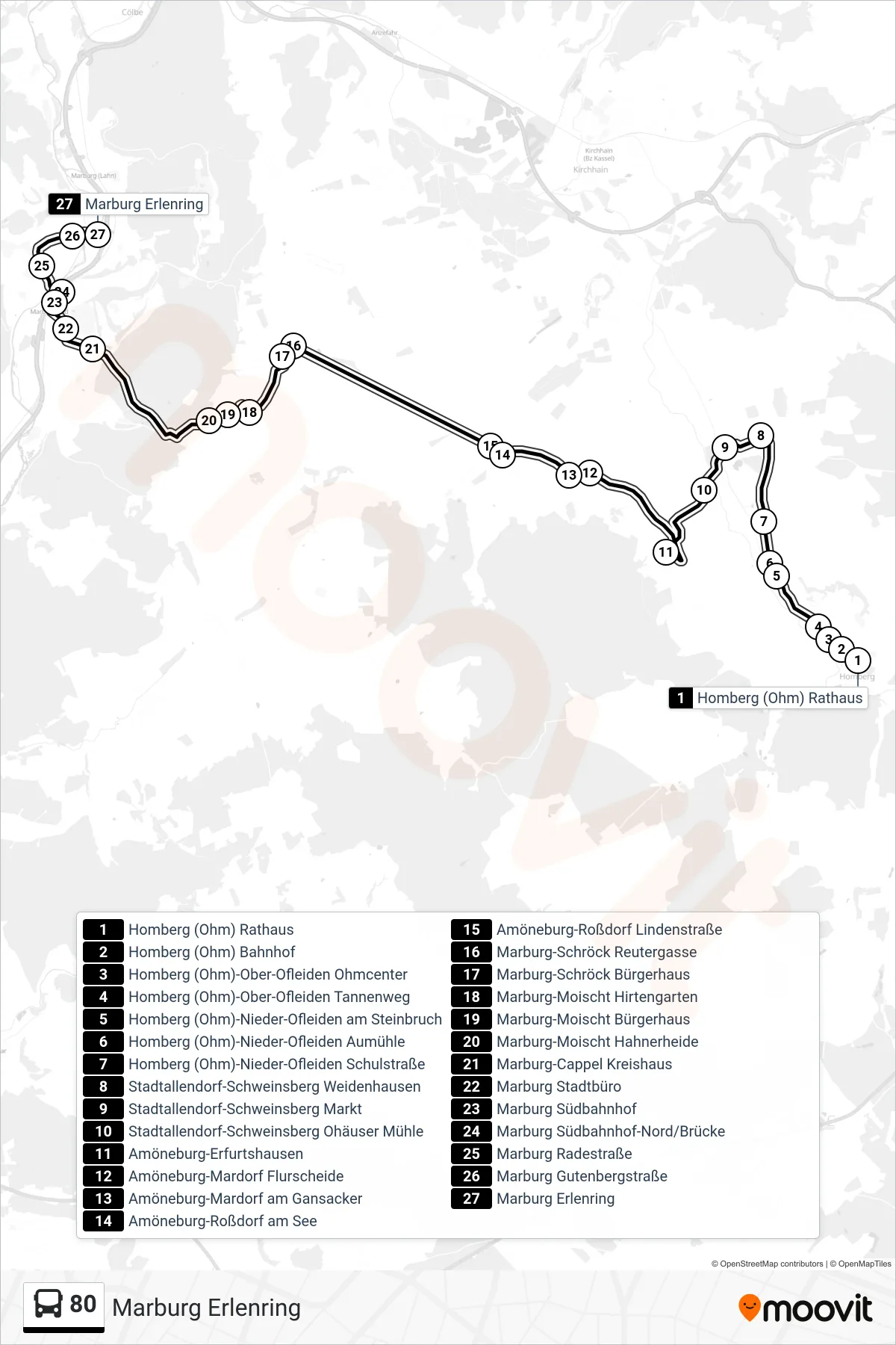
Stops list (80 - Marburg Erlenring)
- Homberg (Ohm) Rathaus
- Homberg (Ohm) Bahnhof
- Homberg (Ohm)-Ober-Ofleiden Ohmcenter
- Homberg (Ohm)-Ober-Ofleiden Tannenweg
- Homberg (Ohm)-Nieder-Ofleiden am Steinbruch
- Homberg (Ohm)-Nieder-Ofleiden Aumühle
- Homberg (Ohm)-Nieder-Ofleiden Schulstraße
- Stadtallendorf-Schweinsberg Weidenhausen
- Stadtallendorf-Schweinsberg Markt
- Stadtallendorf-Schweinsberg Ohäuser Mühle
- Amöneburg-Erfurtshausen
- Amöneburg-Mardorf Flurscheide
- Amöneburg-Mardorf am Gansacker
- Amöneburg-Roßdorf am See
- Amöneburg-Roßdorf Lindenstraße
- Marburg-Schröck Reutergasse
- Marburg-Schröck Bürgerhaus
- Marburg-Moischt Hirtengarten
- Marburg-Moischt Bürgerhaus
- Marburg-Moischt Hahnerheide
- Marburg-Cappel Kreishaus
- Marburg Stadtbüro
- Marburg Südbahnhof
- Marburg Südbahnhof-Nord/Brücke
- Marburg Radestraße
- Marburg Gutenbergstraße
- Marburg Erlenring