
810 Tram Route Map
View the 810 route map and see all 810 stops along the route. The map of 810 shows where the tram travels and the location of each stop, making it easy to understand the entire route at a glance.
Explore routes on the map and see where tram services operate. Use the 810 map to find tram stations and see how the 810 connects different areas along its trip.
All 810 stops on the map are displayed in route order, helping you follow the 810 tram from the first station to the last.
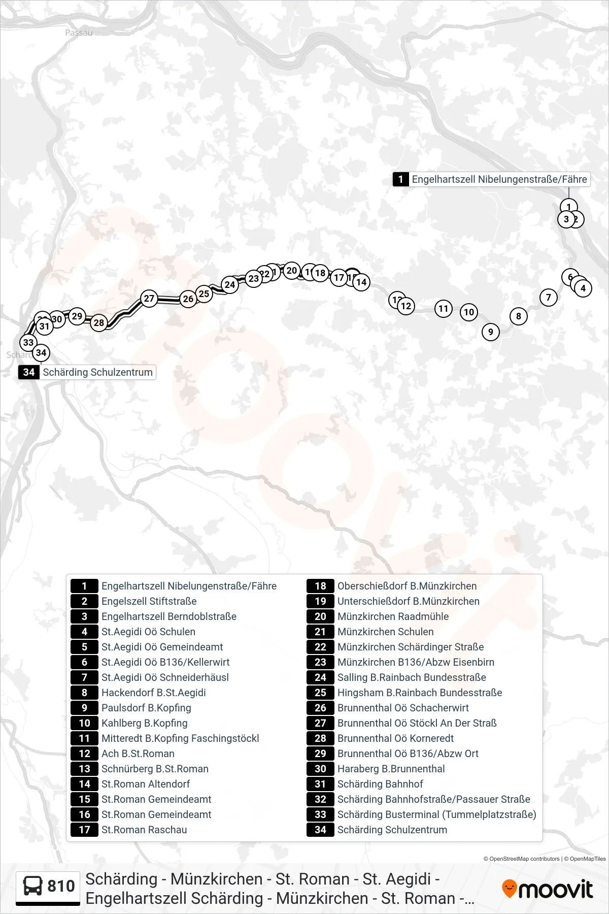
Stops list (810 - Schärding Schulzentrum)
- Engelhartszell Nibelungenstraße/Fähre
- Engelszell Stiftstraße
- Engelhartszell Berndoblstraße
- St.Aegidi Oö Schulen
- St.Aegidi Oö Gemeindeamt
- St.Aegidi Oö B136/Kellerwirt
- St.Aegidi Oö Schneiderhäusl
- Hackendorf B.St.Aegidi
- Paulsdorf B.Kopfing
- Kahlberg B.Kopfing
- Mitteredt B.Kopfing Faschingstöckl
- Ach B.St.Roman
- Schnürberg B.St.Roman
- St.Roman Altendorf
- St.Roman Gemeindeamt
- St.Roman Gemeindeamt
- St.Roman Raschau
- Oberschießdorf B.Münzkirchen
- Unterschießdorf B.Münzkirchen
- Münzkirchen Raadmühle
- Münzkirchen Schulen
- Münzkirchen Schärdinger Straße
- Münzkirchen B136/Abzw Eisenbirn
- Salling B.Rainbach Bundesstraße
- Hingsham B.Rainbach Bundesstraße
- Brunnenthal Oö Schacherwirt
- Brunnenthal Oö Stöckl An Der Straß
- Brunnenthal Oö Korneredt
- Brunnenthal Oö B136/Abzw Ort
- Haraberg B.Brunnenthal
- Schärding Bahnhof
- Schärding Bahnhofstraße/Passauer Straße
- Schärding Busterminal (Tummelplatzstraße)
- Schärding Schulzentrum