
9 Bus Route Map
View the 9 route map and see all 9 stops along the route. The map of 9 shows where the bus travels and the location of each stop, making it easy to understand the entire route at a glance.
Explore CTA routes on the map and see where CTA bus services operate. Use the 9 map to find bus stops and see how the 9 connects different areas along its trip.
All 9 stops on the map are displayed in route order, helping you follow the 9 bus from the first stop to the last.
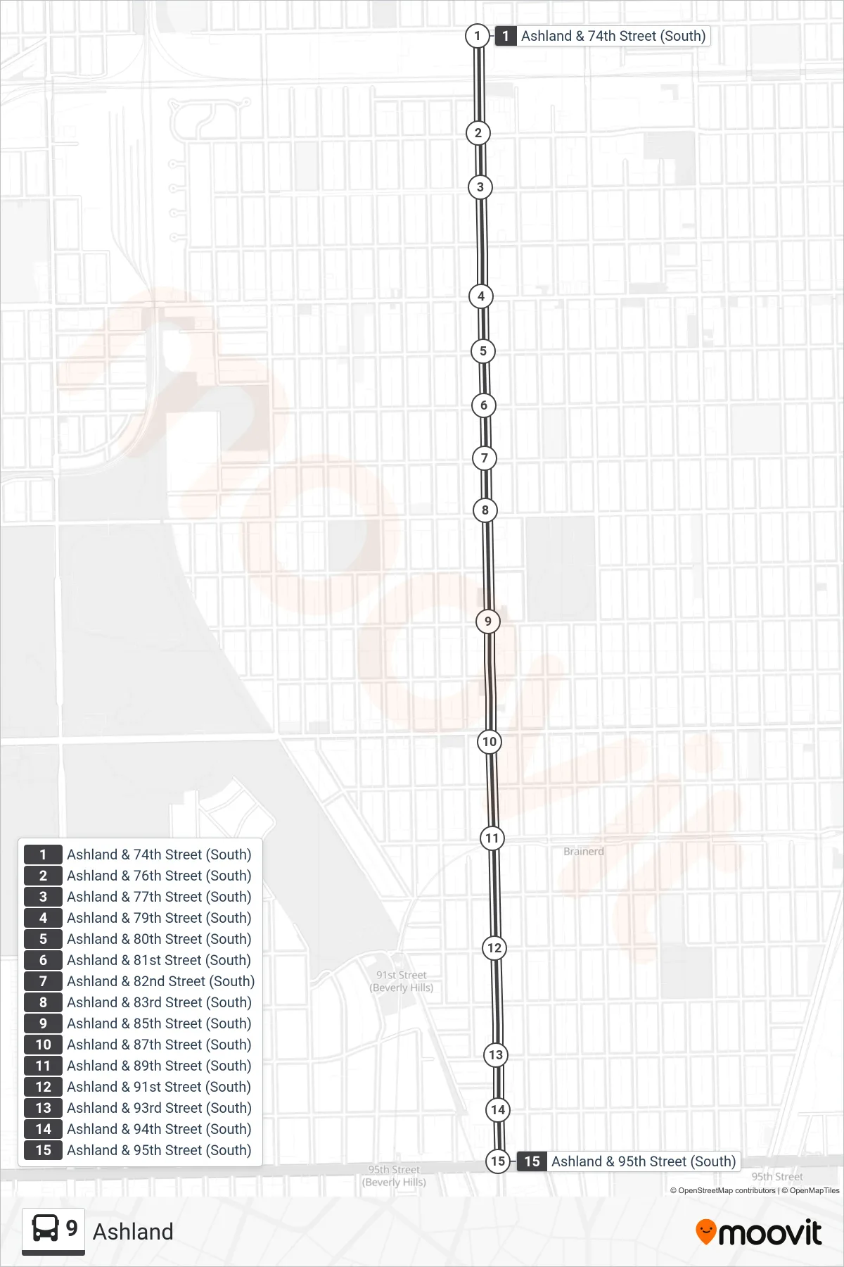
Stops list (9 - Ashland & 95th Street (South))
- Ashland & 74th Street (South)
- Ashland & 76th Street (South)
- Ashland & 77th Street (South)
- Ashland & 79th Street (South)
- Ashland & 80th Street (South)
- Ashland & 81st Street (South)
- Ashland & 82nd Street (South)
- Ashland & 83rd Street (South)
- Ashland & 85th Street (South)
- Ashland & 87th Street (South)
- Ashland & 89th Street (South)
- Ashland & 91st Street (South)
- Ashland & 93rd Street (South)
- Ashland & 94th Street (South)
- Ashland & 95th Street (South)
Change direction
- Route Map - 9 - Ashland & 95th Street Terminal (East)
- Route Map - 9 - Ravenswood (West Leg) & Leland (North)
- Route Map - 9 - Vincennes & 104th Street (South)
- Route Map - 9 - Ashland & 63rd Street (South)
- Route Map - 9 - North Ave & Clark Terminal (Sw)
- Route Map - 9 - 95th Red Line Station (South)
- Route Map - 9 - Ashland & 74th Street (North)