
9 Bus Route Map
View the 9 route map and see all 9 stops along the route. The map of 9 shows where the bus travels and the location of each stop, making it easy to understand the entire route at a glance.
Explore Salzburg AG (OBus) routes on the map and see where Salzburg AG (OBus) bus services operate. Use the 9 map to find bus stops and see how the 9 connects different areas along its trip.
All 9 stops on the map are displayed in route order, helping you follow the 9 bus from the first stop to the last.
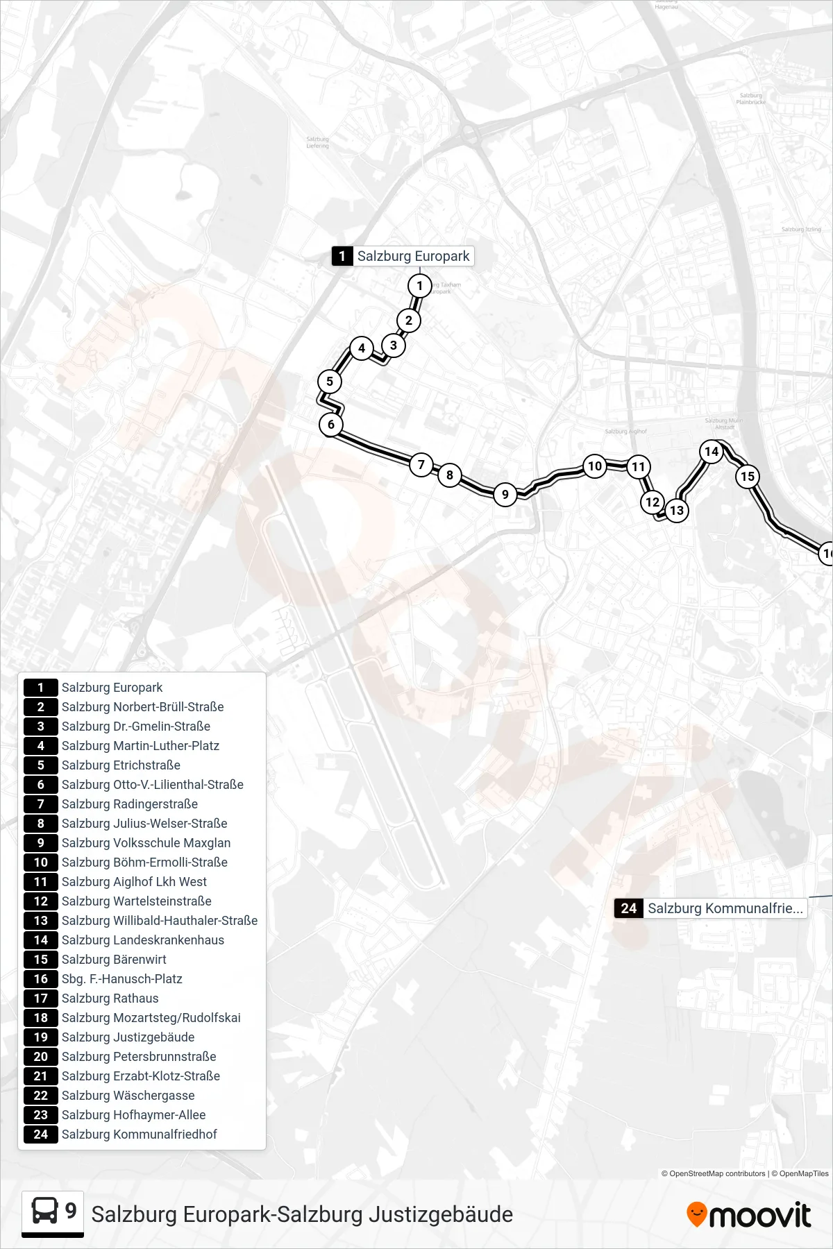
Stops list (9 - Kommunalfriedhof)
- Salzburg Europark
- Salzburg Norbert-Brüll-Straße
- Salzburg Dr.-Gmelin-Straße
- Salzburg Martin-Luther-Platz
- Salzburg Etrichstraße
- Salzburg Otto-V.-Lilienthal-Straße
- Salzburg Radingerstraße
- Salzburg Julius-Welser-Straße
- Salzburg Volksschule Maxglan
- Salzburg Böhm-Ermolli-Straße
- Salzburg Aiglhof Lkh West
- Salzburg Wartelsteinstraße
- Salzburg Willibald-Hauthaler-Straße
- Salzburg Landeskrankenhaus
- Salzburg Bärenwirt
- Sbg. F.-Hanusch-Platz
- Salzburg Rathaus
- Salzburg Mozartsteg/Rudolfskai
- Salzburg Justizgebäude
- Salzburg Petersbrunnstraße
- Salzburg Erzabt-Klotz-Straße
- Salzburg Wäschergasse
- Salzburg Hofhaymer-Allee
- Salzburg Kommunalfriedhof