
911 Bus Route Map
View the 911 route map and see all 911 stops along the route. The map of 911 shows where the bus travels and the location of each stop, making it easy to understand the entire route at a glance.
Explore Niederrheinische VKB routes on the map and see where Niederrheinische VKB bus services operate. Use the 911 map to find bus stops and see how the 911 connects different areas along its trip.
All 911 stops on the map are displayed in route order, helping you follow the 911 bus from the first stop to the last.
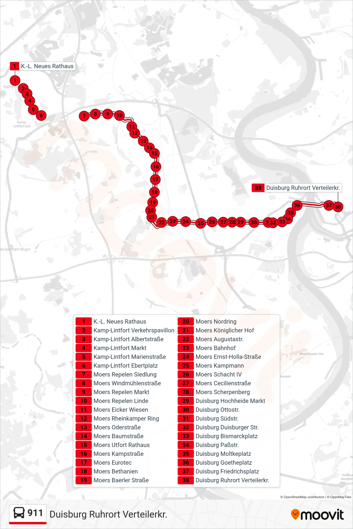
Stops list (911 - Duisburg Ruhrort Verteilerkr.)
- K.-L. Neues Rathaus
- Kamp-Lintfort Verkehrspavillon
- Kamp-Lintfort Albertstraße
- Kamp-Lintfort Markt
- Kamp-Lintfort Marienstraße
- Kamp-Lintfort Ebertplatz
- Moers Repelen Siedlung
- Moers Windmühlenstraße
- Moers Repelen Markt
- Moers Repelen Linde
- Moers Eicker Wiesen
- Moers Rheinkamper Ring
- Moers Oderstraße
- Moers Baumstraße
- Moers Utfort Rathaus
- Moers Kampstraße
- Moers Eurotec
- Moers Bethanien
- Moers Baerler Straße
- Moers Nordring
- Moers Königlicher Hof
- Moers Augustastr.
- Moers Bahnhof
- Moers Ernst-Holla-Straße
- Moers Kampmann
- Moers Schacht IV
- Moers Cecilienstraße
- Moers Scherpenberg
- Duisburg Hochheide Markt
- Duisburg Ottostr.
- Duisburg Südstr.
- Duisburg Duisburger Str.
- Duisburg Bismarckplatz
- Duisburg Paßstr.
- Duisburg Moltkeplatz
- Duisburg Goetheplatz
- Duisburg Friedrichsplatz
- Duisburg Ruhrort Verteilerkr.