
92 Bus Route Map
View the 92 route map and see all 92 stops along the route. The map of 92 shows where the bus travels and the location of each stop, making it easy to understand the entire route at a glance.
Explore SSB routes on the map and see where SSB bus services operate. Use the 92 map to find bus stops and see how the 92 connects different areas along its trip.
All 92 stops on the map are displayed in route order, helping you follow the 92 bus from the first stop to the last.
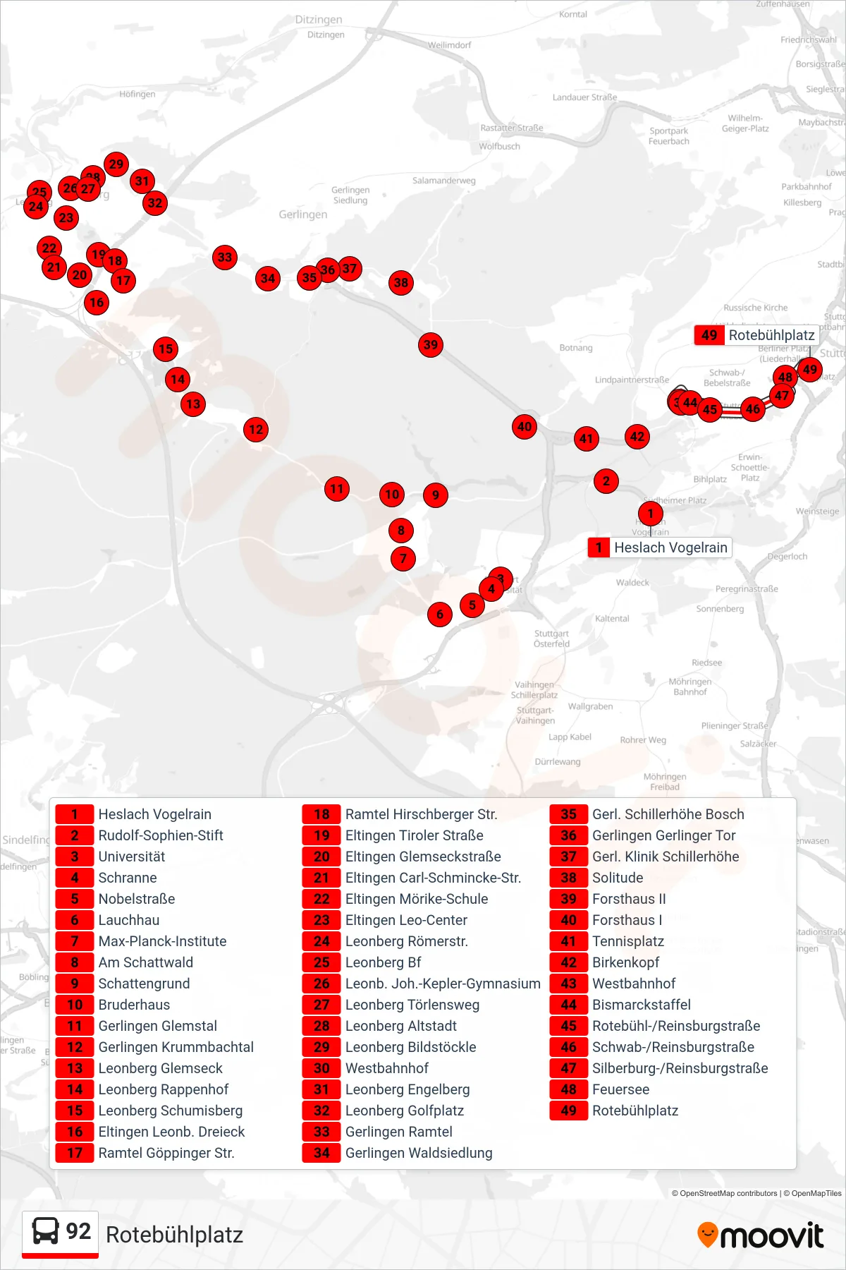
Stops list (92 - Rotebühlplatz)
- Heslach Vogelrain
- Rudolf-Sophien-Stift
- Universität
- Schranne
- Nobelstraße
- Lauchhau
- Max-Planck-Institute
- Am Schattwald
- Schattengrund
- Bruderhaus
- Gerlingen Glemstal
- Gerlingen Krummbachtal
- Leonberg Glemseck
- Leonberg Rappenhof
- Leonberg Schumisberg
- Eltingen Leonb. Dreieck
- Ramtel Göppinger Str.
- Ramtel Hirschberger Str.
- Eltingen Tiroler Straße
- Eltingen Glemseckstraße
- Eltingen Carl-Schmincke-Str.
- Eltingen Mörike-Schule
- Eltingen Leo-Center
- Leonberg Römerstr.
- Leonberg Bf
- Leonb. Joh.-Kepler-Gymnasium
- Leonberg Törlensweg
- Leonberg Altstadt
- Leonberg Bildstöckle
- Westbahnhof
- Leonberg Engelberg
- Leonberg Golfplatz
- Gerlingen Ramtel
- Gerlingen Waldsiedlung
- Gerl. Schillerhöhe Bosch
- Gerlingen Gerlinger Tor
- Gerl. Klinik Schillerhöhe
- Solitude
- Forsthaus II
- Forsthaus I
- Tennisplatz
- Birkenkopf
- Westbahnhof
- Bismarckstaffel
- Rotebühl-/Reinsburgstraße
- Schwab-/Reinsburgstraße
- Silberburg-/Reinsburgstraße
- Feuersee
- Rotebühlplatz